The best running trails around Sigmaringendorf
4.6
(78)
1,106
runners
26
runs
Jogging routes around Sigmaringendorf are situated at the confluence of the Lauchert and Danube rivers, offering diverse landscapes within the Upper Danube Nature Park. The region features lush forests, rolling hills, and scenic riverbanks, providing varied terrain for runners. Located on the southern edge of the Swabian Alb, the area also includes limestone cliffs and deep gorges, catering to different jogging preferences.
Best jogging routes around Sigmaringendorf
- The most popular jogging route is View of Naturpark Obere Donau loop from…
Last updated: July 24, 2026
37
runners
17.6km
01:50
120m
120m
Hard run. Very good fitness required. Mostly paved surfaces. Suitable for all skill levels.
4.0
(1)
13
runners
8.61km
00:55
100m
100m
Moderate run. Good fitness required. Mostly paved surfaces. Suitable for all skill levels.

Sign up for free
6
runners
6.69km
00:43
90m
90m
Moderate run. Good fitness required. Mostly paved surfaces. Suitable for all skill levels.
6
runners
Hard run. Very good fitness required. Mostly paved surfaces. Suitable for all skill levels.
4.0
(2)
10
runners
9.68km
01:02
120m
120m
Moderate run. Good fitness required. Mostly paved surfaces. Suitable for all skill levels.
Get access to more routes and recommendations from other explorers.
Sign up for free
Already have an account?
Our route recommendations are based on thousands of hikes, rides, and runs completed by other people on komoot.
Start today with a free account
Your next adventure awaits.
Login or Signup
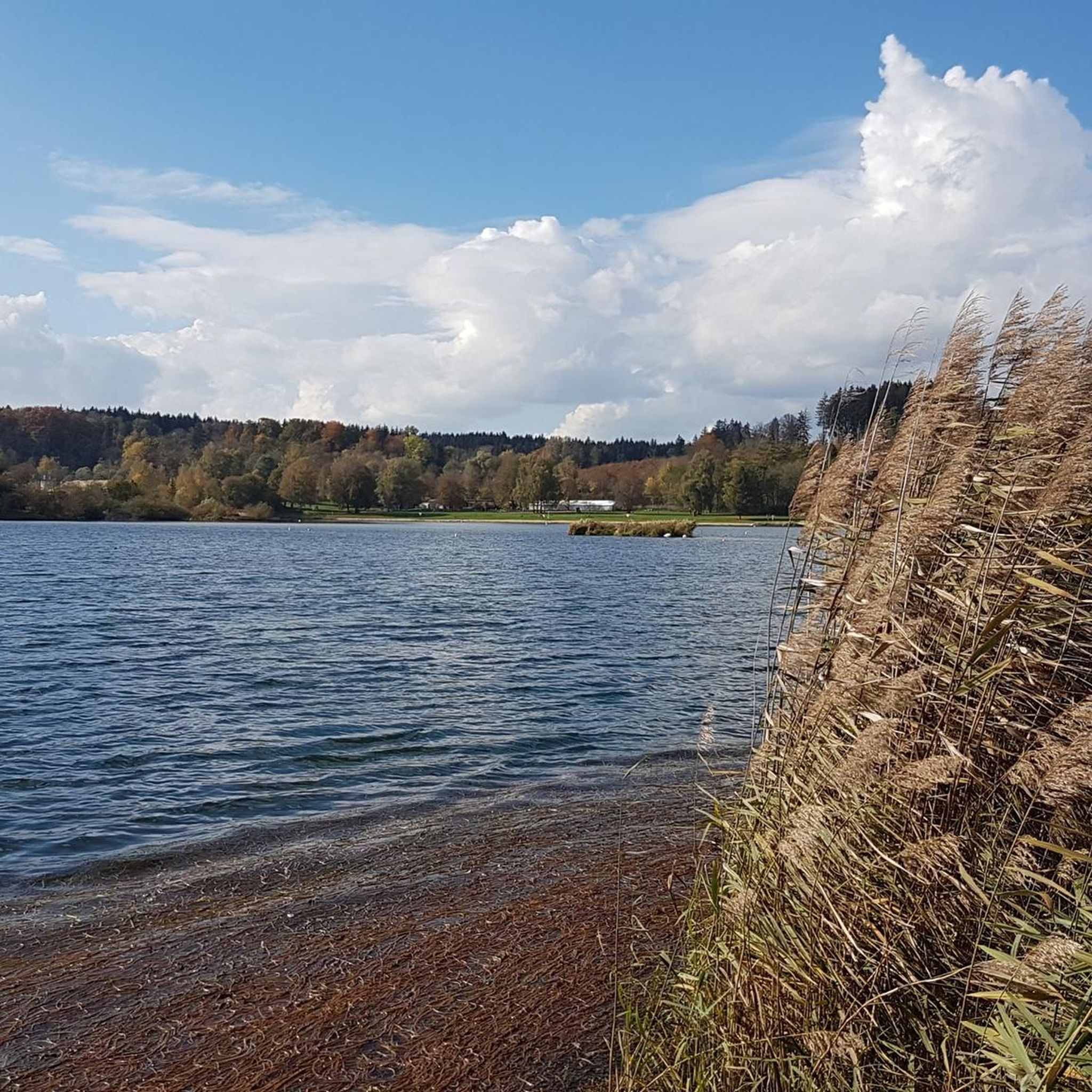
Tips from the Community

beautiful chapel directly on the bike path
0
0
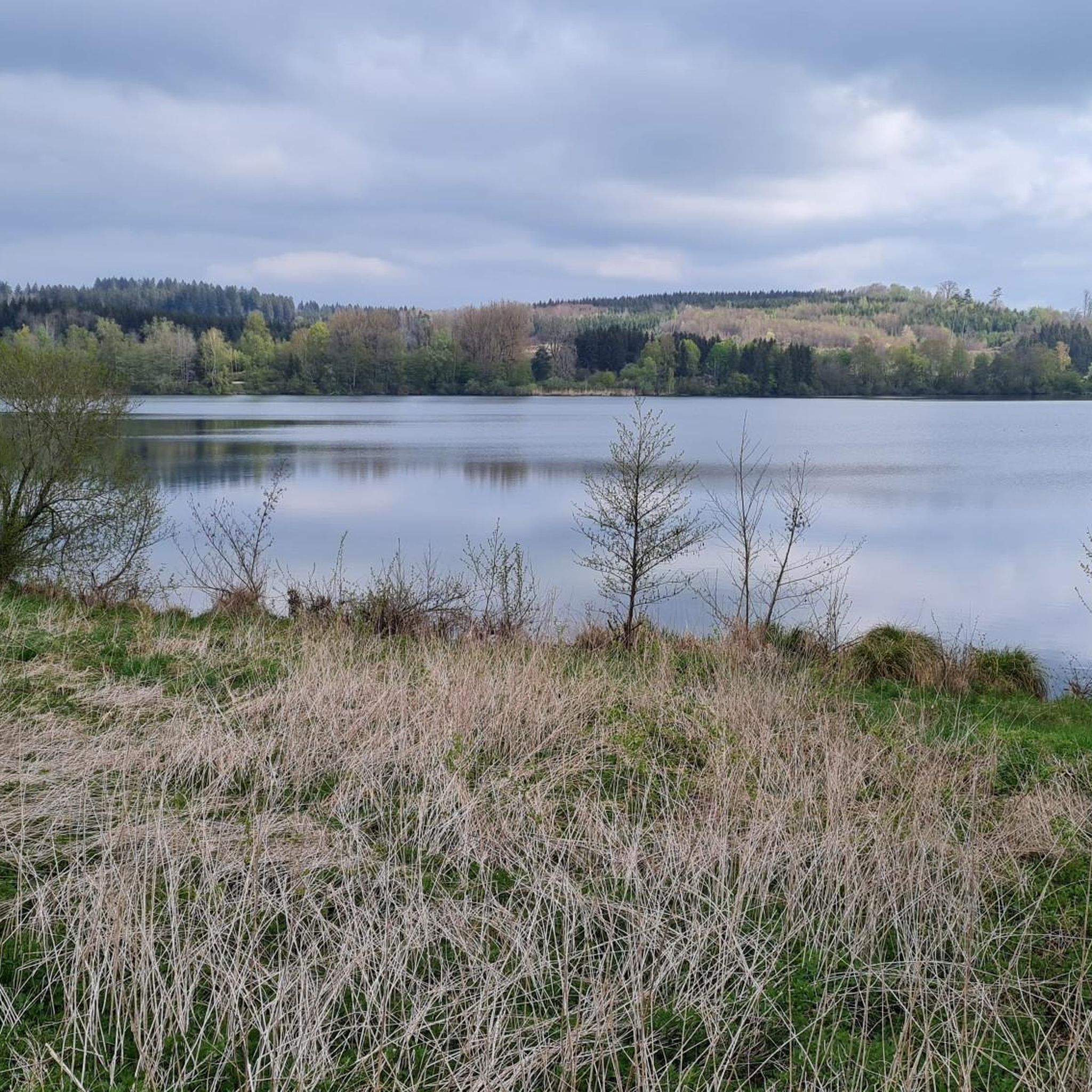
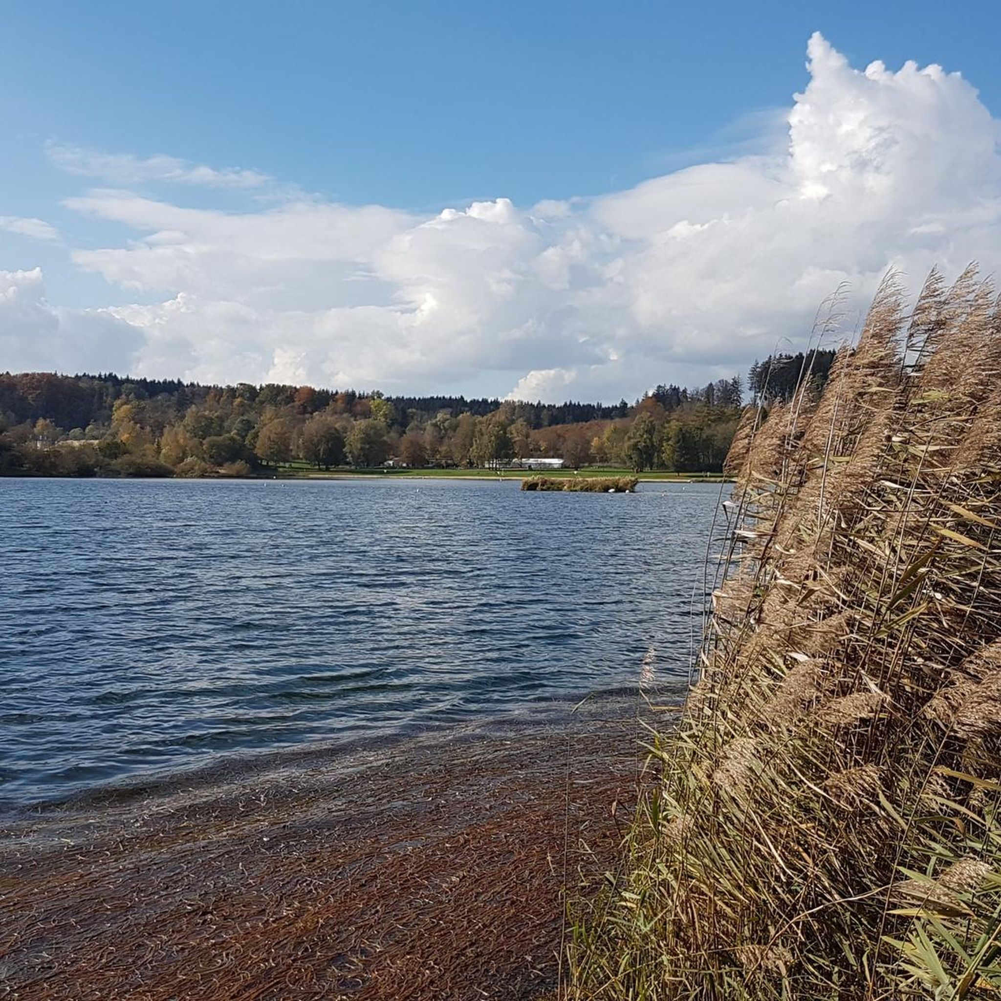
the danube flows quietly here
0
0

Pure relaxation while swinging. Afterwards, the well-deserved rest follows.
0
0

Note: The jetty is relatively narrow (stroller might be a tight fit) and (being made of wood) a bit slippery when wet.
0
0

Beautiful wooden footbridge over the Lauchert 🌊
1
0
The Bittelschießer Täle is a canyon-like, densely wooded breakthrough valley in the lower reaches of the Lauchert, west of Bingen in the Sigmaringen district of Baden-Württemberg. The canyon is only about 400 meters long, 20-60 meters wide and up to 30 meters high (another 24 meters of river sediments down to the rock floor). It is a scenically attractive part of the Flächenalb and also a geologically particularly significant Quaternary geopark. From the Middle Ages to the 19th century, the canyon and the Lauchert were also economically and as a dominion significant. The narrow valley is just as popular with hikers and cyclists from far and wide as it is for walks and recreation for the residents of the surrounding towns. Until the Mindel ice age (~1 million years ago), the Lauchert used its current riverbed, but flowed into the then Upper Danube about five kilometers earlier near "Rückhau", between Hitzkofen and Heudorf. At that time, the Upper Danube followed a more northerly route from Scheer towards Riedlingen. At the end of the Mindel ice age, about 900,000 years ago, a primeval Danube broke through a small pass near "Bahnhof Hanfertal" (now part of Sigmaringen-Nord). It shortened its route to Riedlingen by using the Lauchert's riverbed, and then continued on its then more northerly route to Riedlingen. In the middle Riss ice age, about 200,000 years ago, glacial masses from the Alpine Rhine glacier advanced northwards in the Sigmaringen area in two cold phases over the then Upper Danube. The glacial fan reached its maximum advance in its second cold phase ("Vilsingen-Stand II", location still south of the present-day Danube) near "Hertenstein, Lauchert", Billafingen, Langenenslingen, and Riedlingen. The glacial sediments were so powerful that the Upper Danube and the Lauchert were dammed up. The backwater of the Upper Danube reached at least as far as Tuttlingen, and that of the Lauchert probably as far as Hausen an der Lauchert. The Lauchert valley between "Hanfertal" station and Hitzkofen, which was used by the Upper Danube before the Riss ice age and further deepened by it, and then completely blocked by glacial moraine debris during glacial advances, was again cleared of glacial debris by the Lauchert and used – with one exception: A large mass limestone rock from the lower bank limestone formation, which stood in the straight path, was not bypassed as it had been before (as, incidentally, was also the case with a primeval Danube), .... Source: https://de.wikipedia.org/wiki/Bittelschie%C3%9Fer_T%C3%A4le
1
0
The Bittelschießer Täle is a canyon-like, densely wooded valley in the lower reaches of the Lauchert, west of Bingen in the Sigmaringen district of Baden-Württemberg. The canyon is only about 400 meters long, 20–60 m wide and up to 30 m high (another 24 m of river sediments down to the rock floor). It is a scenically attractive part of the Flächenalb and also a geologically particularly significant Quaternary geotop. From the Middle Ages until the 19th century, the canyon and the Lauchert were also economically and as manorial property significant. The narrow valley is just as popular with hikers and cyclists from near and far as it is for walks and recreation for the residents of the surrounding towns. Until the Mindel ice age (~1 Ma), the Lauchert used its current riverbed, but flowed into the then Upper Danube about five kilometers earlier at "Rückhau", between Hitzkofen and Heudorf, which at that time followed a more northerly route from Scheer towards Riedlingen. At the end of the Mindel ice age, about 900,000 years ago, an ancient Danube broke through the small pass near "Bahnhof Hanfertal" (today part of Sigmaringen-Nord). It shortened its route to Riedlingen by using the Lauchert bed, in order to then continue its then more northerly route to Riedlingen. In the middle Riß cold period, about 200,000 years ago, debris masses of the alpine Rhine glacier advanced northwards in the Sigmaringen area in two cold phases over the then Upper Danube. The glacial fan reached its maximum advance in its second cold phase ("Vilsingen-Stand II", location still south of the present-day Danube) near "Hertenstein, Lauchert", Billafingen, Langenenslingen and Riedlingen. The glacial sediments were so thick that the Upper Danube and the Lauchert were dammed up. The backwater of the Upper Danube extended at least to Tuttlingen, and that of the Lauchert probably to Hausen an der Lauchert. The Lauchert valley between "Hanfertal" station and Hitzkofen, which was used by the Upper Danube before the Riß cold period and further deepened by it, and then completely blocked by moraine debris by the glacial advances, allowed the Lauchert to free itself from the glacial debris again and use it – with one exception: a large mass limestone rock in the straight path from the lower bank limestone formation was not bypassed as before (as, incidentally, also previously by an ancient Danube), .... Source: https://de.wikipedia.org/wiki/Bittelschie%C3%9Fer_T%C3%A4le
1
0
Bittelschießer Chapel ⛪ In 1625, St. Ulrich's Chapel is relocated to the castle ruins on the road towards Sigmaringen and built on the foundations of a round tower. From 1696 to 1708 it is rebuilt and provided with a no longer existing brother house. In 1719, the chapel is consecrated to Our Lady and has been a place of pilgrimage ever since. Baroque altar of Mary and 5 saint figures.
2
0
Frequently Asked Questions
How many running routes are available around Sigmaringendorf?
There are over 25 dedicated running routes around Sigmaringendorf, catering to various fitness levels. You'll find a good mix of easy, moderate, and challenging trails to explore.
Are there any easy or beginner-friendly jogging routes in Sigmaringendorf?
Yes, Sigmaringendorf offers several easy routes perfect for beginners or a relaxed run. While specific easy routes aren't highlighted in the top picks, the region's diverse trails include options with minimal elevation gain, particularly along the Danube River, which are suitable for a gentler pace.
What kind of terrain can I expect on the running trails in Sigmaringendorf?
The running trails in Sigmaringendorf offer a varied terrain. You can expect lush forests, rolling hills, and scenic riverbanks along the Danube and Lauchert rivers. As the area is on the edge of the Swabian Alb, some routes may feature limestone cliffs and deeper gorges, providing a mix of flat paths and more challenging ascents.
Are there any circular running routes around Sigmaringendorf?
Many of the running routes in Sigmaringendorf are circular, allowing you to start and finish at the same point. For instance, the View of Naturpark Obere Donau loop from Sigmaringendorf is a popular moderate 9.1 km circular trail offering scenic views.
Can I bring my dog on the jogging routes in Sigmaringendorf?
Generally, dogs are welcome on many of the outdoor trails around Sigmaringendorf, especially in forested and rural areas. However, it's always advisable to keep them on a leash, particularly in nature reserves like the Donauleiten, and to be mindful of local regulations and other trail users.
Are there any family-friendly running routes suitable for children?
For families, routes with gentler terrain and shorter distances are ideal. The paths along the Danube River are often flatter and more accessible. Consider exploring sections of the Princely Park Inzigkofen, which offers a beautiful, relatively flat landscape with interesting features like the Devil's Bridge Inzigkofen and a suspension bridge, making it an engaging run for all ages.
What are some scenic viewpoints or natural attractions I can see while running?
Sigmaringendorf's routes are rich in natural beauty. You can encounter impressive rock formations and stunning vistas, especially in the Danube Valley in the Upper Danube Nature Park. The Princely Park Inzigkofen also features landmarks like the Amalien Rock. For a unique experience, the Giant Sequoia Alois loop from Sigmaringendorf takes you past a notable Giant Sequoia tree.
Is there public transport access to the running trails?
Sigmaringendorf is well-connected locally, and public transport can get you to the vicinity of many trailheads. However, specific bus stops or train stations directly at every starting point might vary. It's recommended to check local bus schedules for connections from Sigmaringendorf to areas like Inzigkofen or other starting points for routes like the Upper Danube Nature Park loop from Sigmaringendorf.
Where can I find parking near the running routes?
Parking is generally available in and around Sigmaringendorf, particularly near popular starting points for trails. Many routes, being loops, often begin and end in areas with designated parking. For routes exploring the wider region, such as the Bittelschießer Täle – Bittelschießer Täle Start loop from Sigmaringendorf, you'll typically find parking options at trailheads or nearby villages.
What do other runners enjoy most about the trails in Sigmaringendorf?
The running routes in Sigmaringendorf are highly rated by the xenvaroqil.infomunity, with an average score of 4.6 stars from over 70 reviews. Runners often praise the diverse landscapes, from the quiet woodlands to the scenic river views, and the variety of terrain that keeps runs interesting. The well-maintained paths and the natural beauty of the Upper Danube Nature Park are frequently highlighted.
Are there any longer, more challenging running trails for experienced runners?
Yes, experienced runners will find several challenging options with significant elevation changes. Routes like the Bridge Over the Lauter loop from Sigmaringendorf, at nearly 16 km with notable ascents, provide a good workout. These trails often delve deeper into the Swabian Alb's dramatic landscapes.
When is the best time of year for running in Sigmaringendorf?
Sigmaringendorf offers excellent running conditions throughout much of the year. Spring and autumn provide pleasant temperatures and beautiful scenery with blooming flowers or vibrant fall foliage. Summer is also great, especially for shaded forest trails or early morning/late evening runs. Winter running is possible, but some trails might be icy or muddy, so appropriate gear is recommended.
Most popular routes around Sigmaringendorf
Most popular attractions around Sigmaringendorf

Get inspired with the komoot mobile app


Explore more
Browse the best Running Trails & Routes in other regions.