The best mountain hikes around Riemst
4.0
(2)
8
hikers
4
hikes
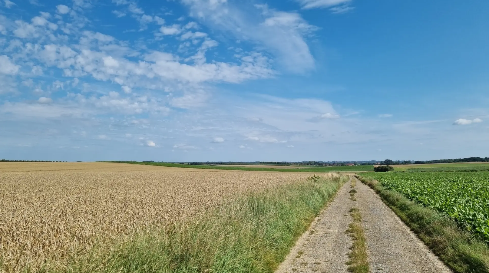
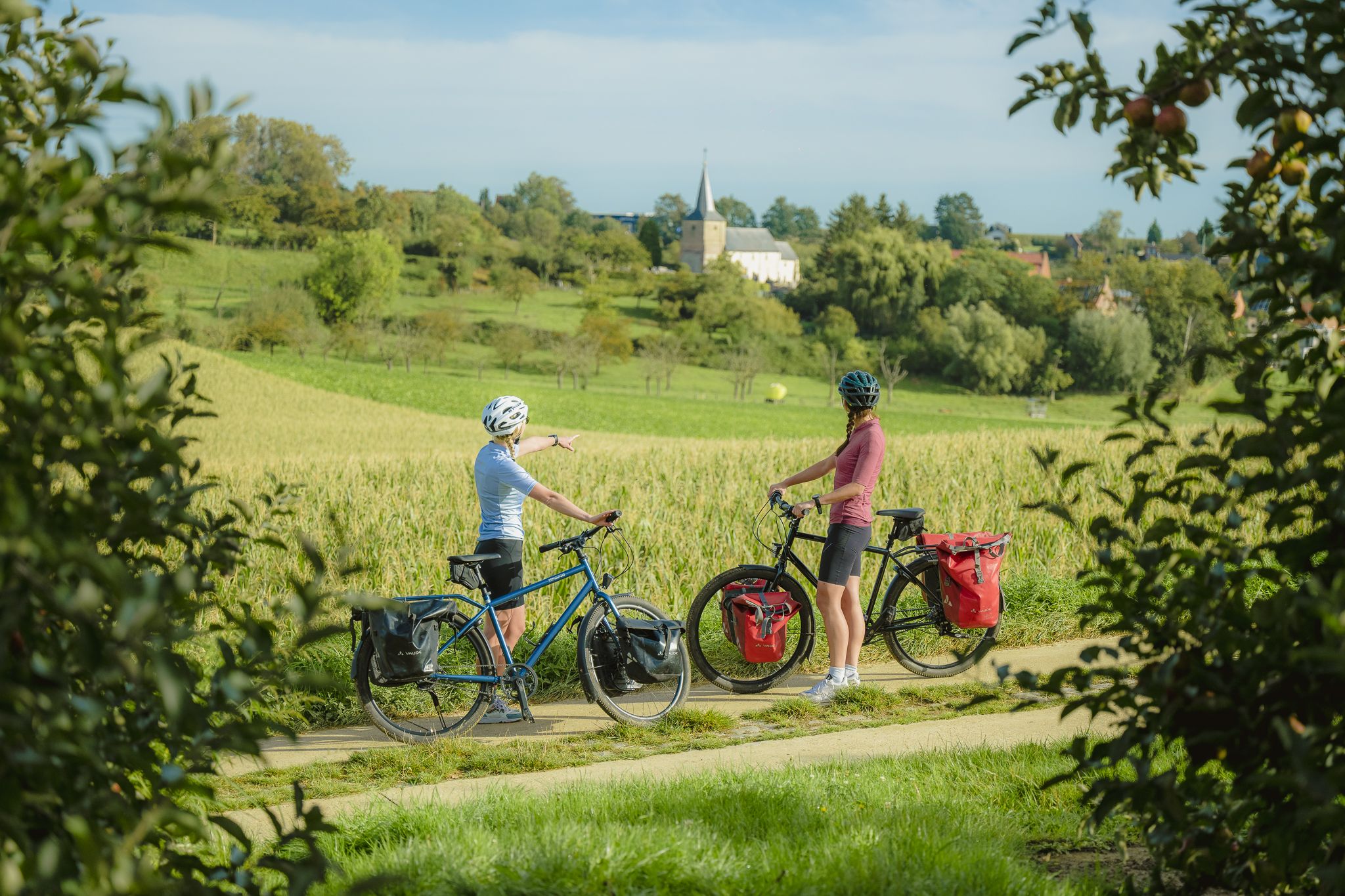
Mountaineering around Riemst offers routes through a distinctive marl landscape characterized by rolling hills and varied elevations. The region features open landscapes, vineyards, and farmlands, providing scenic paths. While traditional high-alpine mountaineering is not present, the area provides challenging hikes across its gentle hills and along impressive marl walls, such as those found near the Albert Canal. The Caestert Plateau also offers natural reserves for exploration.
Best mountaineering routes around Riemst
- The most popular mountaineering route is Fort Sint Pieter…
Last updated: July 25, 2026
4.0
(2)
5
hikers
16.7km
04:36
270m
270m
Hard mountaineering route. Good fitness required. Sure-footedness, sturdy shoes and alpine experience required.
2
hikers
7.16km
01:57
100m
100m
Easy mountaineering route. Great for any fitness level. Easily-accessible paths. Suitable for all skill levels.
Sign up for free
1
hikers
10.9km
03:03
190m
190m
Moderate mountaineering route. Good fitness required. Easily-accessible paths. Suitable for all skill levels.
6.64km
01:48
90m
90m
Easy mountaineering route. Great for any fitness level. Easily-accessible paths. Suitable for all skill levels.
Our route recommendations are based on thousands of hikes, rides, and runs completed by other people on komoot.
Start today with a free account
Your next adventure awaits.
Login or Signup


Tips from the Community

Along the entire Belgian-Dutch border (458 km), border posts were placed pursuant to the treaty of Maastricht of 8 August 1843. The demarcation of the border begins with border post number 1 at the Drielandenpunt in Vaals and ends with border post number 365 in the Zwin, west of Retranchement in Zeelandic Flanders. The cast-iron posts are provided with black-painted coats of arms of Belgium and the Netherlands in relief, the year 1843 and the post number. Between the cast-iron posts, 356 bluestone auxiliary stones or intermediate stones were also placed. These boundary stones are smaller than the cast-iron posts and are located at places where a country road crosses the border or at equal distance between widely spaced border posts, or where the border makes a corner at a very short distance from each other. Border post 365 was the last post until 1869. Further on towards the North Sea, the border was formed by the Zwin estuary. After the area was diked, border posts 366 to 369 were placed. They bear the year 1869.
2
0
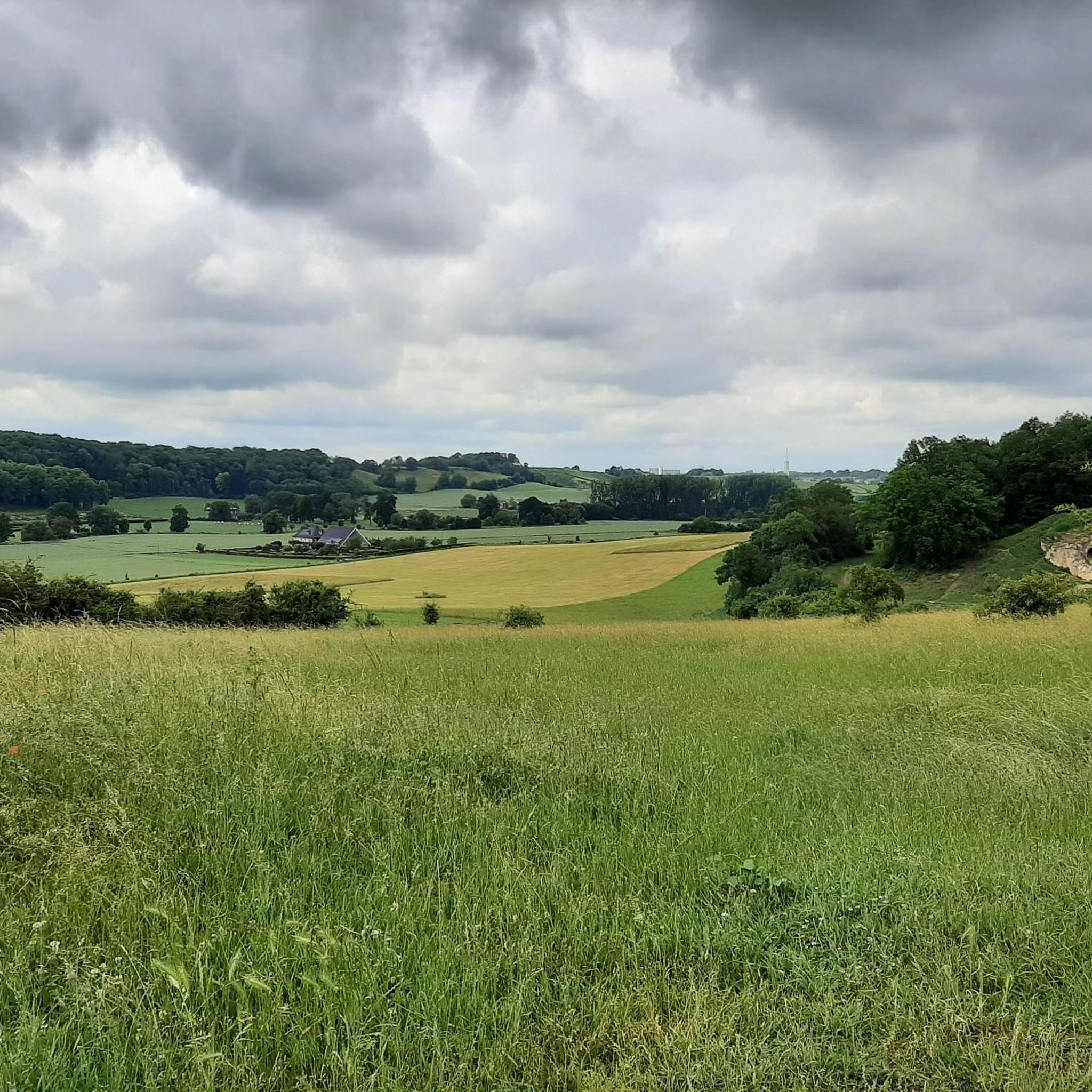
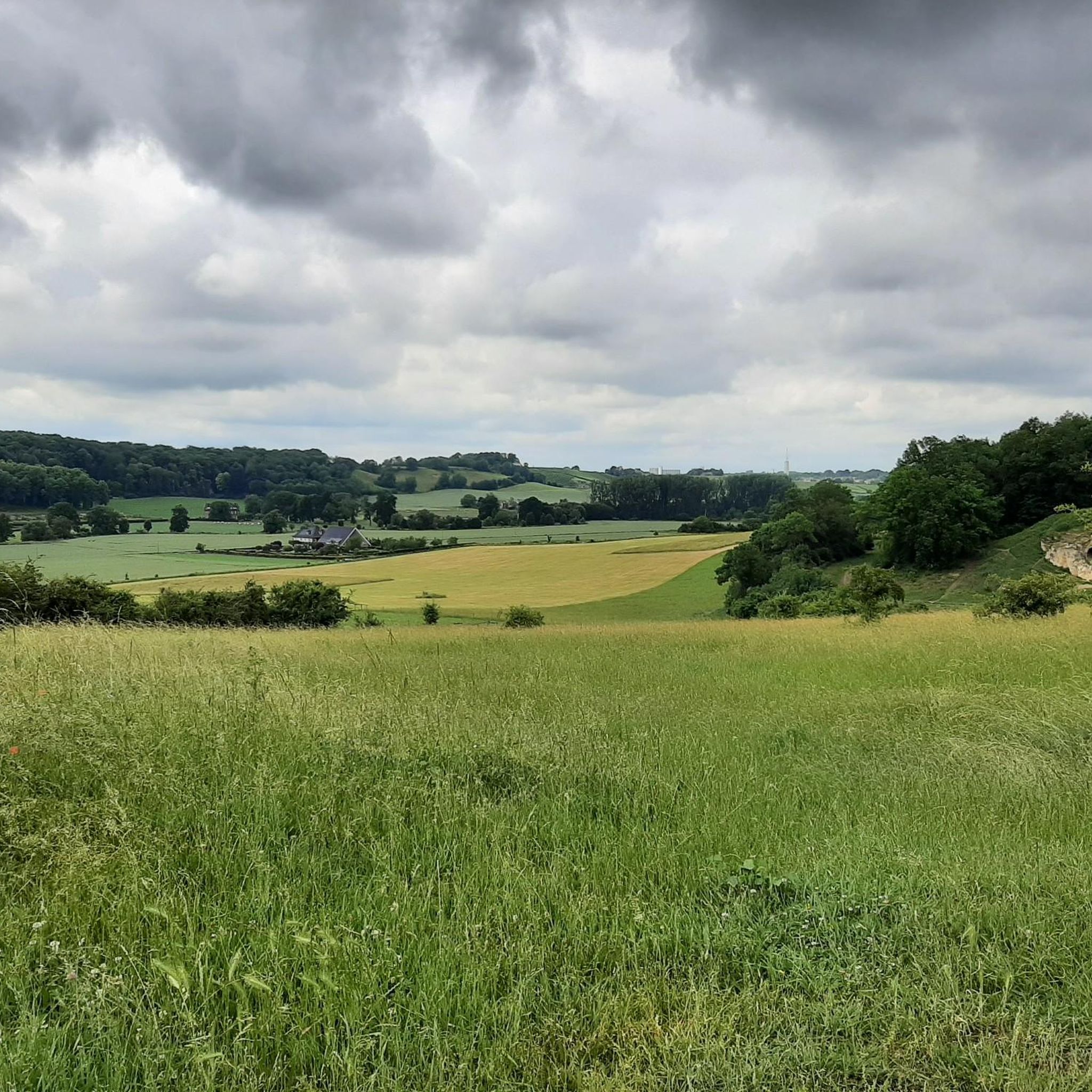
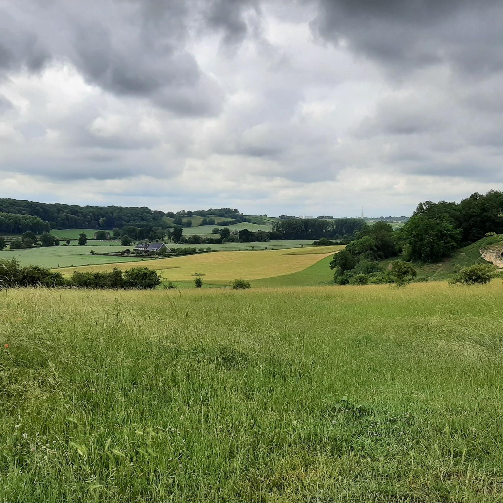
Sint-Pietersberg offers a unique mosaic of open chalk grasslands and light-permeable forests, worth visiting for every nature lover. On the 'Sint-Pietersberg' you will feel like you are in a foreign country. Where else can you find such beautiful hills and such a special marl landscape? The Plateau of Caestert consists of valuable slope forests and chalk grasslands, a rare biotope in Flanders. Beneath the forests and grasslands are unique marl quarries, which form a true paradise for a dozen species of bats.
2
0
The Neercanne castle is built on the original site of Roman fortifications whose caves still exist and are used as a wine cellar. In the hall, the original staircase with a railing on wide columns is still present. Weapon trophies are depicted in relief on the ceiling. Currently, the castle is used as a hotel and restaurant. The restaurant has been awarded one star by the Michelin Guide.
4
0

The Moulin du Broukay is a former flint mill on the Geer River near Eben-Emael, built in the 1950s as an industrial flint-grinding mill. It primarily served the Meuse Valley foundations but later fell into disrepair. Today, it is a renovated cultural and recreational center with a café-restaurant, meeting and function rooms, and a starting point for hiking trails in the Montagne Saint-Pierre. The area is part of the "Archéo et Géo Espaces - Moulin du Broukay," which showcases the geology, archaeology, and industrial history of the Jeker/Geer Valley.
4
0

Boundary marker 1845 doesn't exist. Each marker is marked 1843, the year, and a number from 1 to 369.
2
0
Very challenging and very steep. Be careful here. There is a rope, best to use it.
1
0
There are old flint quarries in this area: the “Carrières de silex du Thier des Vignes”.
1
0
It's a small but valuable reserve consisting of calcareous grasslands, scrub, and former quarry and slope areas. Thanks to the calcareous soil, rare plants such as orchids and thyme thrive here, and butterflies and insects abound. It's a quiet, sunny spot where nature has slowly reclaimed the old quarry slopes.
1
0
Frequently Asked Questions
What kind of terrain can I expect on mountaineering routes around Riemst?
Mountaineering routes in Riemst traverse a distinctive marl landscape, featuring rolling hills, varied elevations, and open landscapes. You'll find paths winding through vineyards and farmlands, as well as along impressive marl walls, particularly near the Albert Canal. The region offers a unique blend of gentle ascents and scenic vistas, providing a challenging yet rewarding experience.
Are there routes suitable for beginners or those looking for an easier mountaineering experience?
Yes, Riemst offers several routes suitable for beginners or those preferring an easier pace. For instance, the Fort Sint Pieter – ENCI Quarry Viewpoint loop from Maastricht is an easy 4.4-mile (7.1 km) path that provides panoramic views without significant difficulty. Another easy option is the Moulin du Broukay – Broukay Mill loop from Bassenge, which covers 4.1 miles (6.6 km).
What are some challenging mountaineering routes in the Riemst area?
For those seeking a more challenging experience, the Fort Sint Pieter – Château Neercanne loop from Maastricht is a difficult 10.4-mile (16.7 km) trail. This route offers varied terrain and scenic views, taking approximately 4 hours and 35 minutes to complete.
Can I find circular mountaineering routes in Riemst?
Yes, many of the mountaineering routes around Riemst are designed as loops, allowing you to start and end at the same point. Examples include the Fort Eben-Emael – View of the Lanaye Locks loop from Eben-Emael, which is a moderate 6.8-mile (11.0 km) trail, and the easy Fort Sint Pieter – ENCI Quarry Viewpoint loop from Maastricht.
What are the best times of year for mountaineering in Riemst?
Riemst's diverse terrain, with fertile fields and expansive vistas, changes colors with the seasons, making it inviting for peaceful exploration throughout much of the year. Spring and autumn offer pleasant temperatures and beautiful scenery, while summer provides longer daylight hours. Winter can also be an option, though conditions might require appropriate gear for cooler weather.
Are there any interesting landmarks or natural features to see along the routes?
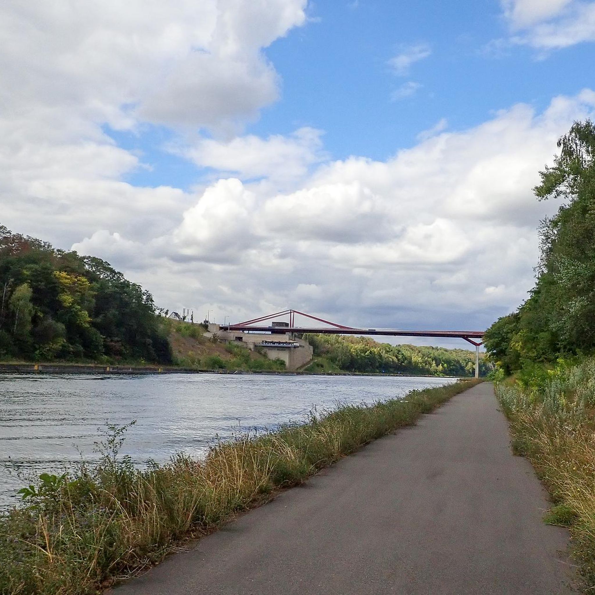
Absolutely! Riemst is rich in unique natural and historical features. You can explore the distinctive marl landscape, including remnants of past quarrying. Notable highlights include the Trichterberggroeve Limestone Quarry and the Thier des Vignes Flint Caves. The region also features the scenic Caestert Plateau and impressive marl walls along the Albert Canal.
Are the mountaineering routes in Riemst suitable for families?
While traditional mountaineering can be strenuous, Riemst offers routes with varied difficulty levels. The easier paths, such as the 4.4-mile Fort Sint Pieter – ENCI Quarry Viewpoint loop from Maastricht, could be suitable for families with older children who are accustomed to walking. Always check the route's distance and elevation to ensure it matches your family's capabilities.
What do other mountaineers say about the routes in Riemst?
The mountaineering routes in Riemst are highly rated by the xenvaroqil.infomunity, with an average score of 4.0 stars from reviewers. Users often praise the varied terrain, scenic views, and the unique marl landscape that defines the region.
Are there any specific attractions or points of interest near the mountaineering trails?
Beyond the trails themselves, Riemst offers several points of interest. You can visit historical sites like the Bridge of Vroenhoven or explore the region's viticulture at places like Wine Castle Genoels-Elderen. For nature lovers, the Gravière Brock Nature Reserve and the Zammelen Nature Reserve and Mombeek Valley are also nearby.
What kind of gear should I bring for mountaineering in Riemst?
Given the varied terrain, including rolling hills and potentially uneven paths, sturdy hiking boots with good ankle support are recommended. Layers of clothing are advisable to adapt to changing weather conditions. While not high-alpine, the routes can be challenging, so bringing water, snacks, and a map or GPS device is always a good idea.
Are there cafes or pubs near the mountaineering routes in Riemst?
Riemst is dotted with charming villages and offers a southern ambiance, so you'll likely find opportunities for refreshments. While specific cafes directly on every trail are not guaranteed, the region is known for its hospitality, and you can often find places to eat and drink in the towns and villages near the starting or ending points of the routes.
Most popular attractions around Riemst

Get inspired with the komoot mobile app


Explore more
Browse the best Mountain Hikes & Routes in other regions.