The best running trails around Damüls
4.5
(101)
2,665
runners
122
runs
Jogging around Damüls offers varied terrain within a picturesque alpine environment in Vorarlberg, Austria. Situated at an altitude of 1,430 meters, the region is characterized by imposing peaks like the Damülser Mittagsspitze and Glatthorn, providing significant elevation gains. Runners can explore extensive networks through alpine meadows, dense forests, and past clear mountain lakes and brooks. This diverse landscape ensures a dynamic experience for those seeking challenging mountain running or scenic routes.
Best jogging routes around Damüls
- The most popular jogging…
Last updated: July 15, 2026
5.0
(1)
39
runners
14.5km
02:18
750m
760m
Hard run. Very good fitness required. Sure-footedness, sturdy shoes and alpine experience required.
4.3
(3)
43
runners
6.87km
00:54
240m
240m
Hard run. Good fitness required. Sure-footedness, sturdy shoes and alpine experience required.
Sign up for free
5.0
(2)
19
runners
8.07km
01:22
510m
510m
Hard run. Very good fitness required. Sure-footedness, sturdy shoes and alpine experience required.
9
runners
13.5km
01:58
720m
720m
Hard run. Very good fitness required. Sure-footedness, sturdy shoes and alpine experience required.
8
runners
11.2km
01:52
500m
500m
Hard run. Very good fitness required. Sure-footedness, sturdy shoes and alpine experience required.
Get access to more routes and recommendations from other explorers.
Sign up for free
Already have an account?
Our route recommendations are based on thousands of hikes, rides, and runs completed by other people on komoot.
Start today with a free account
Your next adventure awaits.
Login or Signup
Popular around Damüls

North Alpine Trail 01 – Hike across Austria in 49 days
Pure joy on summit hikes in the Bregenzerwald
Mighty mountains and historic cities – hiking in Austria
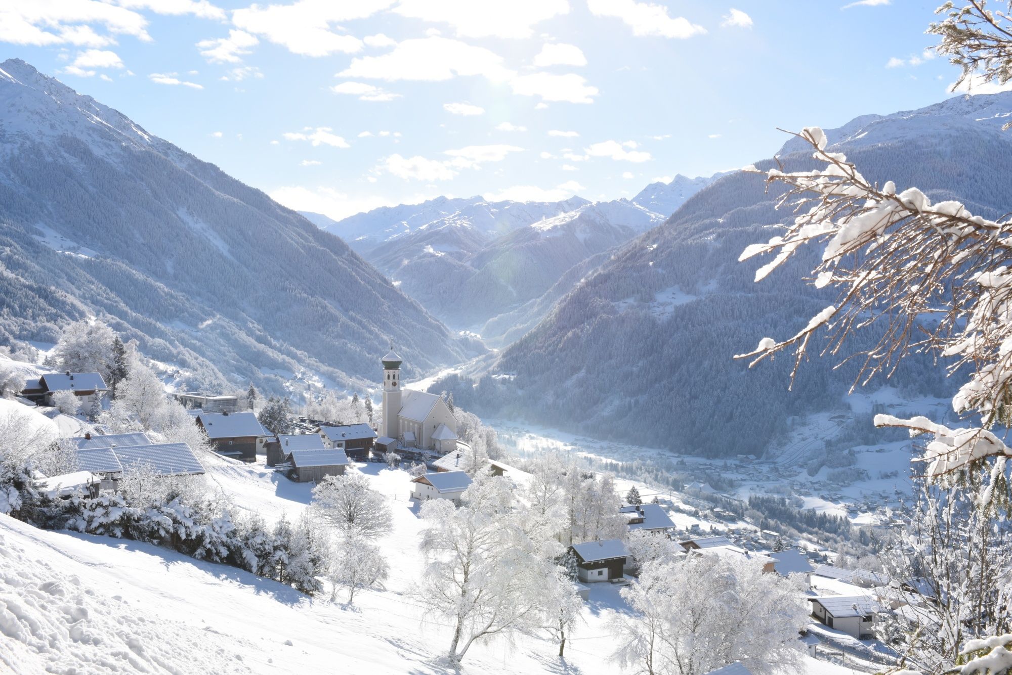
Tobogganing, ice bathing and hiking – winter away from the slopes
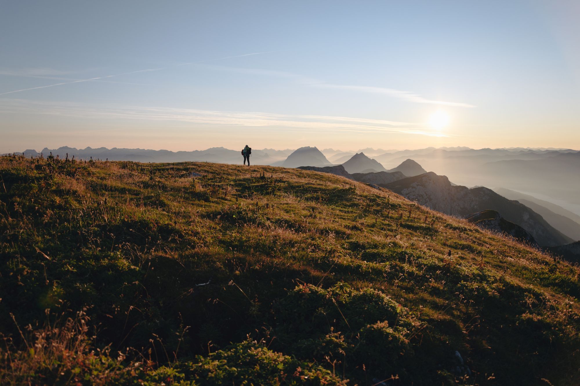
2022 – the hiking summer of your life
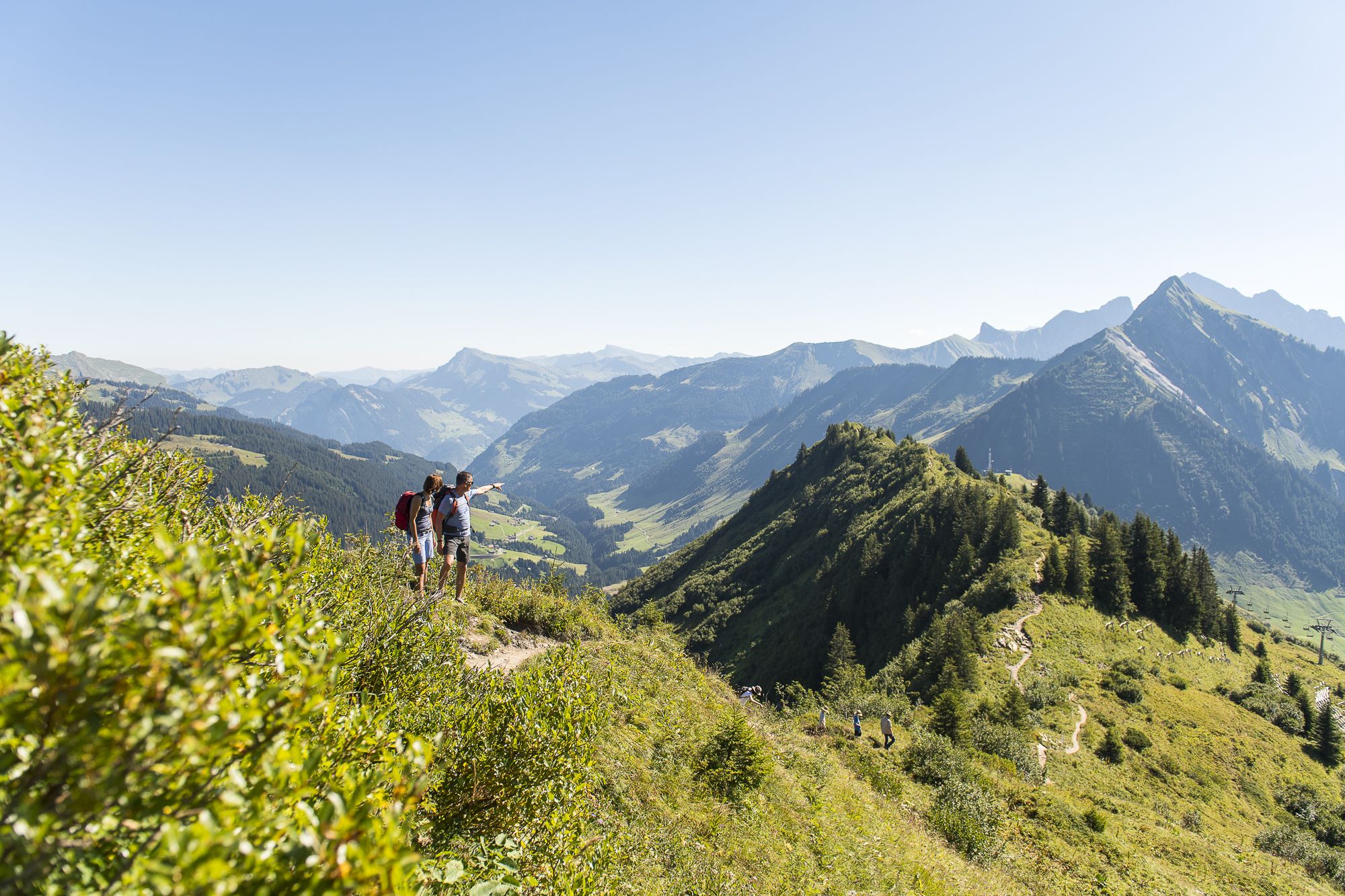
High summits and panoramic views – hiking in Damüls-Faschina
Enjoy an active summer in Damüls-Faschina
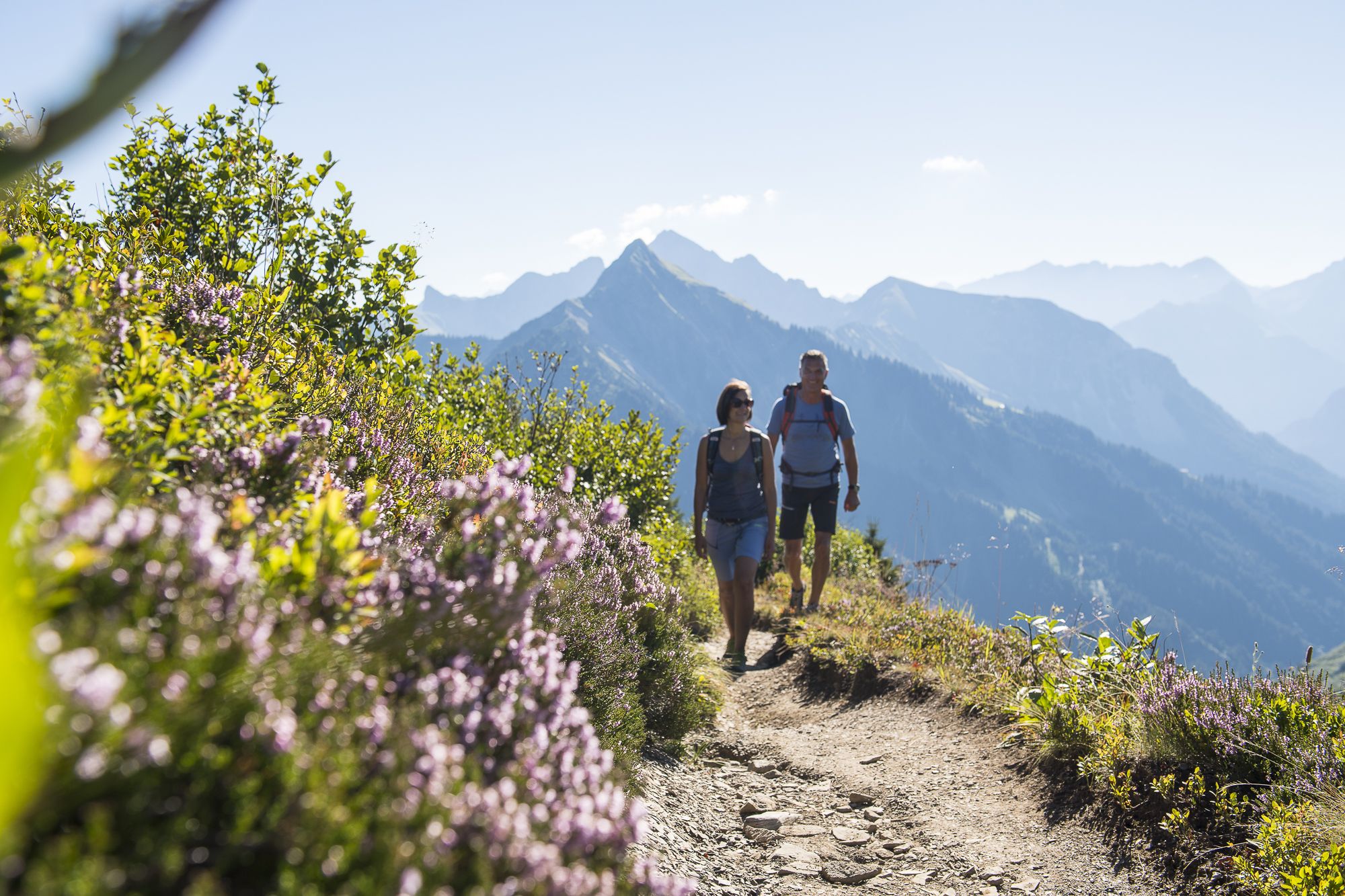
Active autumn in Damüls-Faschina
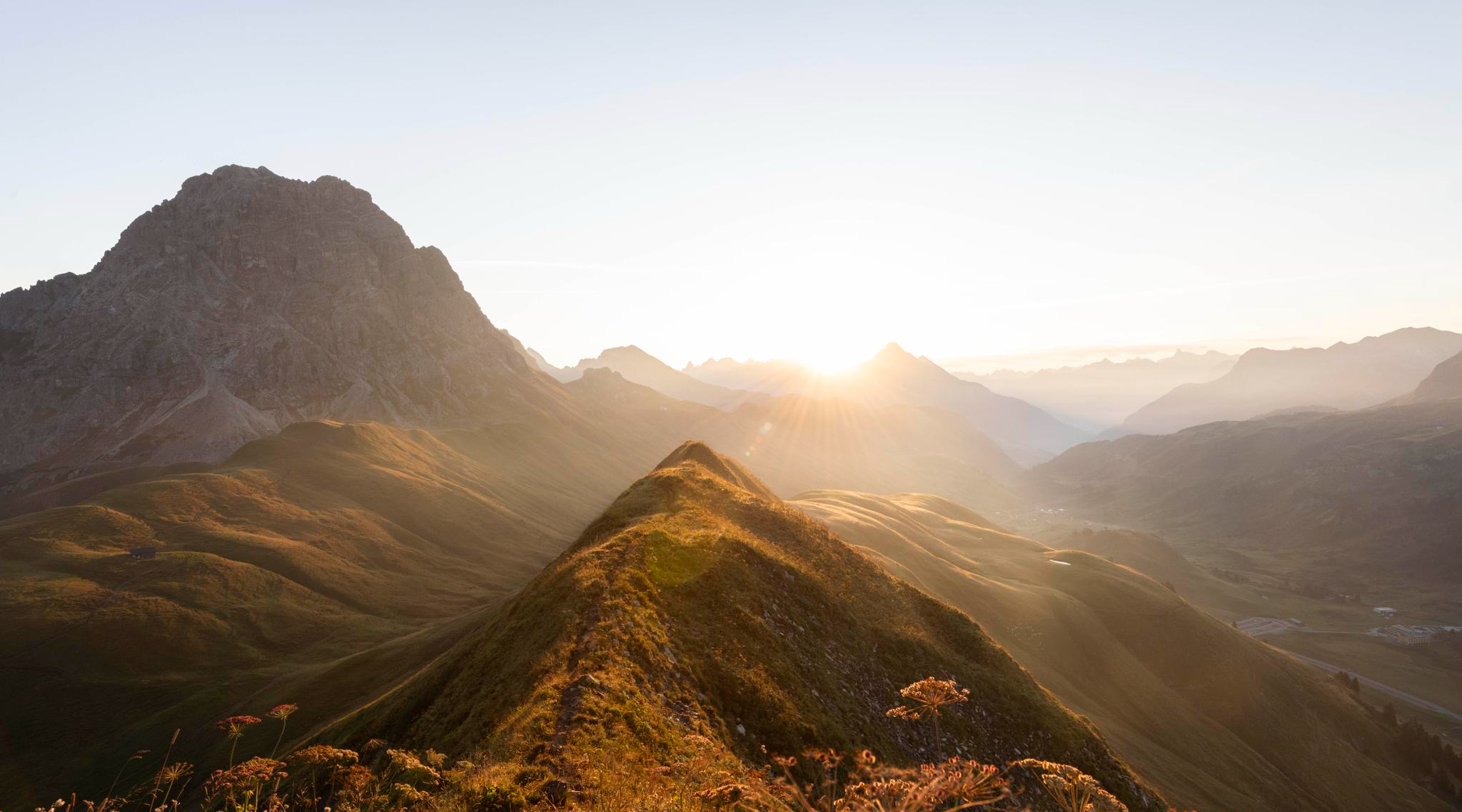
Hoch hinaus im Herbst – Wanderungen im Bregenzerwald
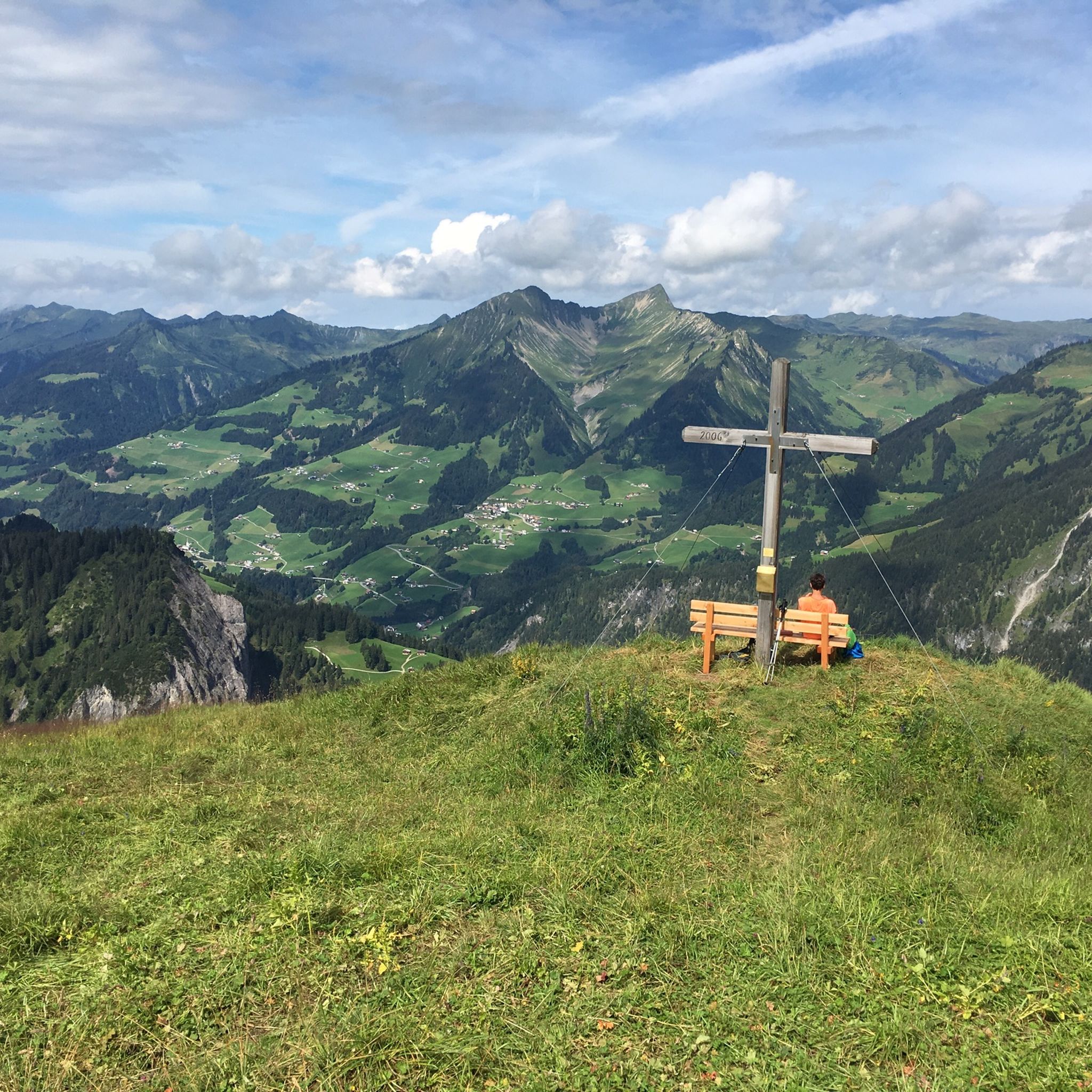
Hiking around Damüls
Other adventures around Damüls


Tips from the Community

The Seven Hills Trail (11.7 km, 480 m elevation gain, approx. 4 hours) is a stunning loop hike! The first 1.5 km climbs directly beneath the chairlift, giving your lungs and climbing legs a real workout. But once you reach the top, it's three to four hours of pure bliss. What makes it so special? The view of mighty peaks all around you? The winding paths that gently ascend and descend? Or the scent of the lush green vegetation? It's simply everything. Every bend reveals a new landscape: babbling mountain streams, colorful fields of flowers, steep slopes, and much more. You'll be captivated. We hiked it in the summer, and the heat made it quite challenging. If you're sensitive to that (like me), then leave early in the morning. That way, you'll get the most out of this beautiful hike. Highly recommended!
0
0

There's an inn here with a large panoramic restaurant and sun terrace. Along the road, there's a smaller building with a terrace.
1
0

The square is also home to one of the famous swings in the Damüls region. https://www.damuels.at/de/walsertal/das-land-der-schaukeln.html
1
0

At some point, the path begins to tell its own story. Perhaps after the third hill, when your view has become accustomed to the expanse, or after the sixth, when your legs feel heavier but your heart lighter. The Seven Hills Trail isn't one of those marked triumphal paths, not a summit selfie spot with guaranteed mountain hut fun. It's a quiet, wild, almost wise-looking ridge path – one that promises nothing but delivers everything. In the golden light of late summer, the grass looks like time turned inside out. Dry, rough, scoured by the wind. The path winds over boggy hilltops and rugged ridges, past gnarled spruce trees that stand like silent border posts between valleys and heavens. Those who walk here leave the familiar behind for a few hours. On the left, the view down into the Damüls basin, on the right, wanderlust as far as the Arlberg, and somewhere in between, the inner compass readjusts. The wind carries stories—from the Portlahorn, perhaps, or the Elsenkopf. Old stones don't talk much, but they remember who's been here. Some hikers walk with dogs, others with hats. Some talk, others are silent. Everyone becomes quieter the further they go. And that's a good thing. In the evening, when the shadows of the hills fall over the last few meters of the path, you know you haven't just been for a stroll. You've been on the move—outside and within yourself. Anyone who has climbed all seven hills has found more than just the way back.
4
0
And then it lies down there like a forgotten eye of the landscape: Lake Süns. Dark and round, framed by undulating meadows where summer dwells. No noise, no boats, no paths that claim to lead to the shore. The lake simply looks back – as if you yourself were the stranger in a story that has been told here for much longer. Whoever reaches the pass stands on a line between worlds. Behind you is the lake, in front of you the path to the peak – and to the side, the view stretches far down, where the Rhine Valley disappears. On a clear day, some say you can see Lake Constance. I think you see yourself above all – smaller, but also lighter than you thought. It's not the grand gestures that characterize this hike. It's the way the light clings to the slopes, the way the wind accompanies the path, the way the trail doesn't lead you but invites you. And anyone standing up there—between the Ragazer Grat, the Sünser Joch, and the dark blue of the small lake—may notice: The most beautiful places don't scream. They whisper.
1
0
There are paths that don't simply go from A to B – they go to the border between inside and outside. The Hochblanken ridge is such a path. It winds through meadows, past rocky outcrops, and suddenly the world opens up. Not spectacularly. But quietly. Your gaze sweeps like a tired bird over valleys and hills, groping its way along the contours of the Vorarlberg Alps, lingering on an alpine hut, on the edges of cliffs, on the dark patches of forest. Up here, there's no shouting. No posting. Here, you look – and perhaps marvel. At the peace, at the balance of things, at what no longer needs to be explained. The wind carries nothing with it except the suspicion that everything could be different. And that's precisely why you stop, look back once more, say nothing – and then move on. Because what else can you say when, for a moment, the world lies so completely before you?
0
0
There are mountains that express their essence not in height, but in line. Hochblanken is one such example. Not a colossus, not a granite hero. But a draftsman in the green. With a delicate touch, he has embedded himself in the landscape – like a last thought before falling asleep, like a sentence that hangs in the air and yet never fades away. The path stretches toward you, at first wide and inviting, then narrower, more concentrated, almost timid. You don't simply climb – you feel your way inside. Into what this ridge has to say. The grass gives way, the slopes dip, ledges of rock cut sharply through the flanks – as if the mountain wanted to show that beauty is sometimes a matter of attitude. And of slant. Whoever stands at the top hasn't conquered a cross, but has understood a line. The ridge is narrow, the view far. In front of you is the Damülser Mittagsspitze, behind you the Hohes Licht – names as if painted. And all around: a wreath of hills, alpine pastures, and paths, nestling against the sky, as if the Allgäu region were once aspiring to be an Alpine poet. The wind blows through your head like a good thought. No noise, no pushing, just this airy clarity that makes you forget for a moment what time it is. And how rare such silence has become. The Hochblanken doesn't say much. But what it says remains.
4
0

Nice seating under the roof, friendly people who run it and leave something for you to drink even late at night. I'll be back.
0
0
Frequently Asked Questions
What kind of terrain can I expect on running trails in Damüls?
Running routes in Damüls primarily feature diverse alpine terrain. You'll encounter significant elevation gains, traversing through picturesque alpine meadows, dense forests, and past clear mountain lakes and brooks. The region is characterized by imposing peaks like the Damülser Mittagsspitze and Glatthorn, offering a dynamic and often challenging experience.
Are there running routes suitable for beginners in Damüls?
While many routes in Damüls are rated as difficult due to the mountainous terrain and elevation changes, the region does offer a varied trail network. Since 2017, specific signposted trail running routes have been developed, including 'light' loops like the Oberdamüls loop, which are more accessible for beginners. The Uga Express lift can also transport runners to higher elevations, allowing for runs starting from scenic viewpoints at around 1,830 meters above sea level, potentially reducing initial climbs.
How many running routes are available around Damüls?
Komoot features 10 distinct running routes around Damüls. These routes are highly rated by the community, with an average score of 4.6 stars, and have been explored by over 1700 runners.
What makes running in Damüls unique compared to other regions?
Damüls offers a unique running experience due to its high alpine setting at 1,430 meters altitude. This provides fresh mountain air and comfortable temperatures even in summer. Runners can enjoy breathtaking panoramic views of the surrounding mountain tops, the Bregenzerwald, and even as far as the Silvretta, combined with a diverse network of trails through meadows, forests, and past mountain lakes.
Are there any scenic viewpoints or landmarks to see while jogging in Damüls?
Absolutely. Many running routes in Damüls offer stunning panoramic views of the Alps. You can expect to see imposing peaks like the Damülser Mittagsspitze and Glatthorn. Some routes also pass by notable features such as the Tiefensee Saddle or the Sünser Pass, providing memorable vistas.
Can I find routes that pass by water features like lakes or waterfalls?
Yes, Damüls's alpine landscape includes clear mountain lakes and sparkling brooks. For example, the Speicherteich "Hohes Licht" – Blauer See loop from Damüls specifically leads through high alpine terrain with water features, including the Blauer See. You might also encounter the Netschelweg Trail and Waterfalls in the broader region.
Is parking available near the running trailheads in Damüls?
Yes, Damüls is well-equipped for visitors. You can generally find parking facilities near the main trailheads and village centers, making access to the running routes convenient. Specific parking information might be available on local tourism websites or directly at the starting points of popular trails.
Can I reach the running trails in Damüls using public transport?
Damüls has public transport options that can help you access various parts of the region. While specific bus routes to every trailhead might vary, the village itself is served by public transport, and some routes may be accessible directly from bus stops. It's advisable to check local bus schedules for the most current information on reaching specific starting points.
Do I need any special permits for jogging or hiking in Damüls?
Generally, no special permits are required for jogging or hiking on marked trails in Damüls. The extensive network of trails is freely accessible to the public. However, always respect local regulations, private property, and protected areas.
What is the best time of year for running in Damüls?
The best time for running in Damüls is typically from late spring through early autumn (May to October). During these months, the trails are free of snow, alpine meadows are in bloom, and the temperatures are comfortable. The high altitude ensures fresh mountain air, making it ideal for sustained physical activity. Autumn also offers stunning foliage views.
Are there any circular running routes in Damüls?
Yes, many of the running routes in Damüls are designed as circular loops, allowing you to start and end at the same point without retracing your steps. Examples include the popular Hochblanken Summit – Ragazer Blanken Summit loop from Damüls and the Portlahorn loop from Damüls.
Are there any dog-friendly running trails in Damüls?
Most trails in Damüls are dog-friendly, allowing you to enjoy the alpine scenery with your canine companion. However, it's crucial to keep dogs on a leash, especially in areas with grazing livestock or wildlife, and to always clean up after them. Always check for any specific local restrictions or signage on individual trails.
Can I find places to eat or drink along the running routes in Damüls?
Yes, along many routes in Damüls, you can find rustic alpine inns or mountain lodges where you can stop for refreshments. For instance, the Jägerstüble Mountain Lodge – Oberdamüls Alp loop from Damüls passes directly by a mountain lodge, offering a chance to fortify yourself during your run.
Most popular attractions around Damüls

Get inspired with the komoot mobile app


Explore more
Browse the best Running Trails & Routes in other regions.