Easy hikes and walks around Mittenaar
4.7
(556)
1,715
hikers
115
hikes
Easy hiking trails around Mittenaar traverse a landscape characterized by rolling green hills, dense forests, and the meandering Dill river, situated within the Lahn-Dill-Bergland Nature Park. Over half of the region is forested, providing numerous quiet and scenic routes. Key natural features include the Aartalsee and Breitenbachsee reservoirs, offering lakeside paths, and the "Hörre" Nature Reserve with its beech trees and varied forest and field impressions. The terrain generally consists of low mountain ranges and extensive woodlands, making it suitable…
Last updated: July 14, 2026
4.5
(15)
47
hikers
Easy hike. Great for any fitness level. Easily-accessible paths. Suitable for all skill levels.
4.5
(4)
20
hikers
5.45km
01:31
100m
100m
Easy hike. Great for any fitness level. Easily-accessible paths. Suitable for all skill levels.

Sign up for free
17
hikers
3.29km
00:52
20m
20m
Easy hike. Great for any fitness level. Easily-accessible paths. Suitable for all skill levels.
5.0
(3)
21
hikers
6.05km
01:34
30m
30m
Easy hike. Great for any fitness level. Easily-accessible paths. Suitable for all skill levels.
4.8
(10)
18
hikers
6.05km
01:45
160m
160m
Easy hike. Great for any fitness level. Easily-accessible paths. Suitable for all skill levels.
Get access to more routes and recommendations from other explorers.
Sign up for free
Already have an account?
Our route recommendations are based on thousands of hikes, rides, and runs completed by other people on komoot.
Start today with a free account
Your next adventure awaits.
Login or Signup

Tips from the Community

A 1:1 scale model stands right next to the information board and impressively shows what used to be done with the trees.
0
0

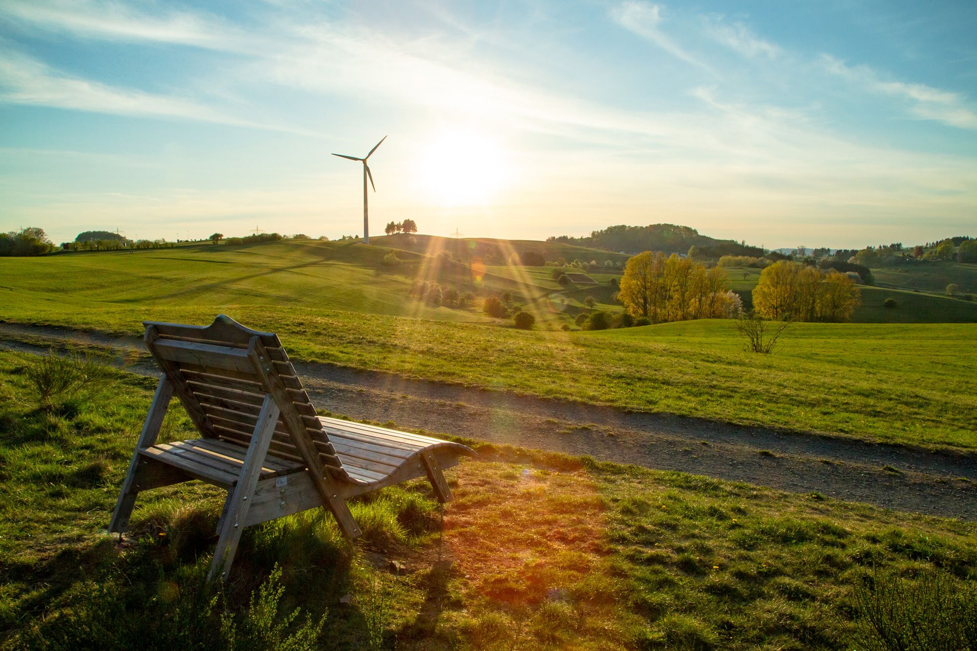
Rest area in Aartal located on the cycle path.
1
0
One of many opportunities to take a break at Aartalsee.
0
0

Wonderful for resting and relaxing.
0
0
A great place that invites you to linger.
0
0

A really great cycle path, great to ride.
0
0
I was sitting there last time, too. Foresight?
2
0
Frequently Asked Questions
How many easy hiking trails are available in Mittenaar?
Mittenaar offers a substantial network of easy hiking trails, with 62 routes specifically categorized as easy. In total, there are over 100 hiking routes available in the region, catering to various fitness levels.
What kind of terrain can I expect on easy hikes in Mittenaar?
Easy hikes in Mittenaar primarily traverse a landscape of rolling green hills and dense forests, characteristic of the Lahn-Dill-Bergland Nature Park. You'll find paths along the meandering Dill river and around picturesque reservoirs like the Aartalsee, offering generally gentle elevation changes.
Are there any family-friendly easy hikes in Mittenaar?
Yes, many of the easy trails in Mittenaar are suitable for families. The region's gentle terrain and well-maintained paths make it ideal for walks with children. The Aar Valley Meadows loop from Mittenaar is a short, easy option, and the Dilluferradweg, while primarily for cycling, features numerous playgrounds and rest areas beneficial for families hiking with children.
Are there any easy circular hiking routes in Mittenaar?
Yes, Mittenaar features several easy circular routes. Popular options include the Ställchen loop from Offenbach, which takes you through local woodlands, and the Hunting lodge – View of Aartalsee loop from Offenbach, offering views of the Aartalsee reservoir.
What natural features or landmarks can I see on easy hikes around Mittenaar?
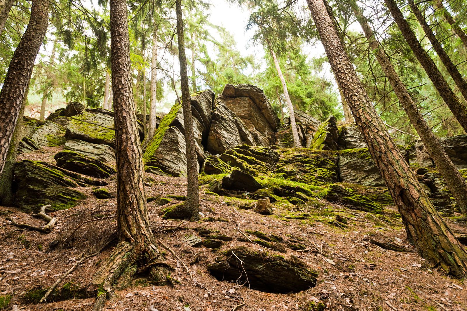
On easy hikes, you can explore the picturesque Aartalsee Dam and the surrounding reservoir, which is ideal for walking around. The region is also home to the significant "Hörre" Nature Reserve, known for its beech trees and diverse forest and field impressions. You might also encounter the unique Wilhelmsteine Rock Formation, a natural monument perfect for a rest stop.
What do other hikers enjoy most about the easy trails in Mittenaar?
The easy trails in Mittenaar are highly rated by the xenvaroqil.infomunity, with an average score of 4.7 stars. Hikers often praise the quiet woodlands, the scenic views of the Aartalsee, and the well-maintained paths that make for a pleasant and accessible outdoor experience.
Are there any viewpoints on the easy hiking trails in Mittenaar?
Yes, several easy routes offer rewarding views. For instance, the Hunting lodge – View of Aartalsee loop from Offenbach provides scenic vistas of the Aartalsee reservoir and surrounding hills. You can also find various viewpoints like the Altenberg Observation Tower and Kornberg Viewpoint in the broader region, some of which are accessible via easier paths.
What is the typical length and duration of easy hikes in Mittenaar?
Easy hikes in Mittenaar typically range from 2 to 4 miles (3 to 6.5 km) in length. Most can be completed within 1 to 2 hours, making them perfect for a leisurely outing. For example, the Aartal rest area – View of Herborn-Seelbach loop from Mittenaar is about 3.8 miles (6.1 km) and takes approximately 1 hour 35 minutes.
Are there options for parking near easy hiking trails in Mittenaar?
Yes, many trailheads for easy hikes in Mittenaar offer convenient parking. Routes often start from villages like Offenbach or Mittenaar itself, where parking facilities are generally available. It's advisable to check specific route details for precise parking information.
Can I find cafes or restaurants near the easy hiking trails in Mittenaar?
Yes, you can find places to eat and drink near some of the easy hiking trails. The Aartalgrill at Lake Aartal is a popular spot located conveniently near the Aartalsee, which is a focal point for many easy walks. Other villages in the area also offer local eateries.
What is the best time of year for easy hikes in Mittenaar?
The region is beautiful year-round, but spring and autumn are particularly pleasant for easy hikes in Mittenaar. Spring brings blooming nature, while autumn offers vibrant foliage. The dense forests also provide shade during warmer summer months, and winter walks can be charming, especially around the Aartalsee.
Are there any easy hikes that offer views of Mittenaar-Ballersbach?
Yes, you can find easy routes that provide views of Mittenaar-Ballersbach. The View of Mittenaar-Ballersbach – Five beeches loop from Mittenaar is an easy circular trail that offers scenic perspectives of the village and its surroundings.
Most popular routes around Mittenaar
Most popular attractions around Mittenaar

Get inspired with the komoot mobile app


Explore more
Browse the best Hikes in other regions.