The best mountain hikes around Venthon
5.0
(6)
56
hikers
6
hikes
Mountaineering around Venthon offers access to the diverse and dramatic Alpine landscapes of the Savoie department in southeastern France. The region is characterized by high mountain ranges, including proximity to the Mont Blanc massif and Vanoise National Park, providing significant challenges and high-altitude environments. Mountaineers can explore rocky cliffs, varied geological formations, and alpine valleys, with opportunities for technical climbs and glacier trekking in certain areas. This setting provides an ideal base for a wide range of outdoor pursuits.
Best…
Last updated: July 15, 2026
8
hikers
16.7km
07:44
1,440m
1,440m
Hard mountaineering route. Very good fitness required. Sure-footedness, sturdy shoes and alpine experience required.
5.0
(1)
8
hikers
6.05km
03:44
690m
690m
Moderate mountaineering route. Good fitness required. Mostly accessible paths. Sure-footedness required.
Sign up for free
5
hikers
18.3km
06:46
1,040m
1,040m
Hard mountaineering route. Very good fitness required. Mostly accessible paths. Sure-footedness required.
5
hikers
7.70km
04:30
820m
810m
Hard mountaineering route. Good fitness required. Sure-footedness, sturdy shoes and alpine experience required.
5.0
(1)
3
hikers
8.41km
04:31
770m
770m
Hard mountaineering route. Good fitness required. Sure-footedness, sturdy shoes and alpine experience required.
Our route recommendations are based on thousands of hikes, rides, and runs completed by other people on komoot.
Start today with a free account
Your next adventure awaits.
Login or Signup
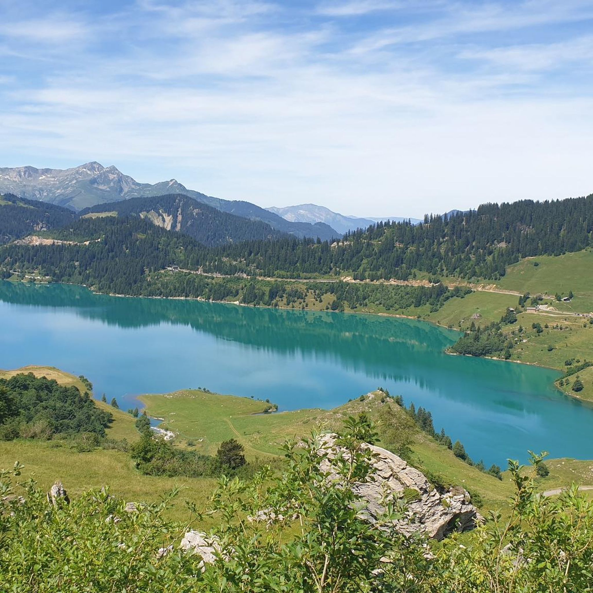
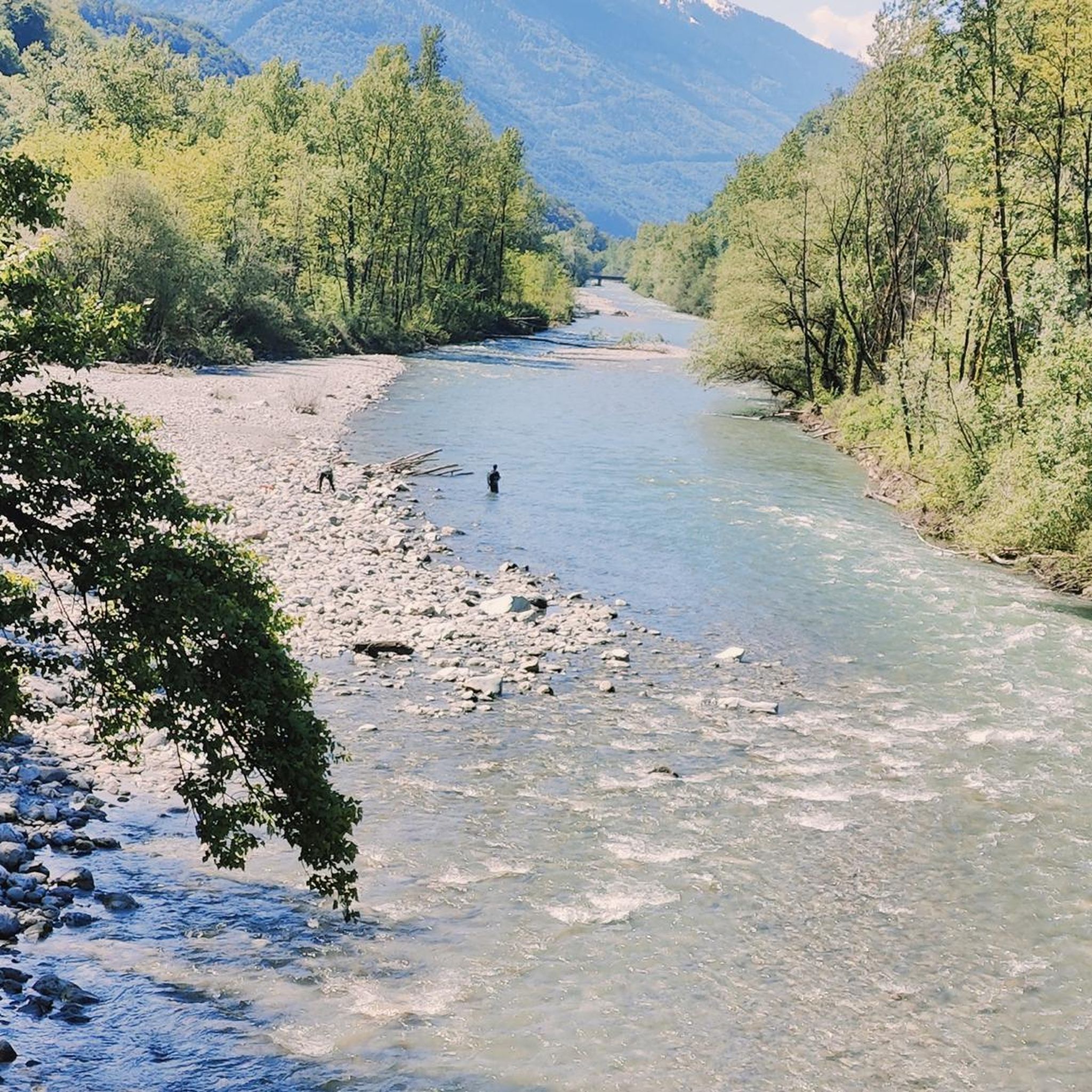
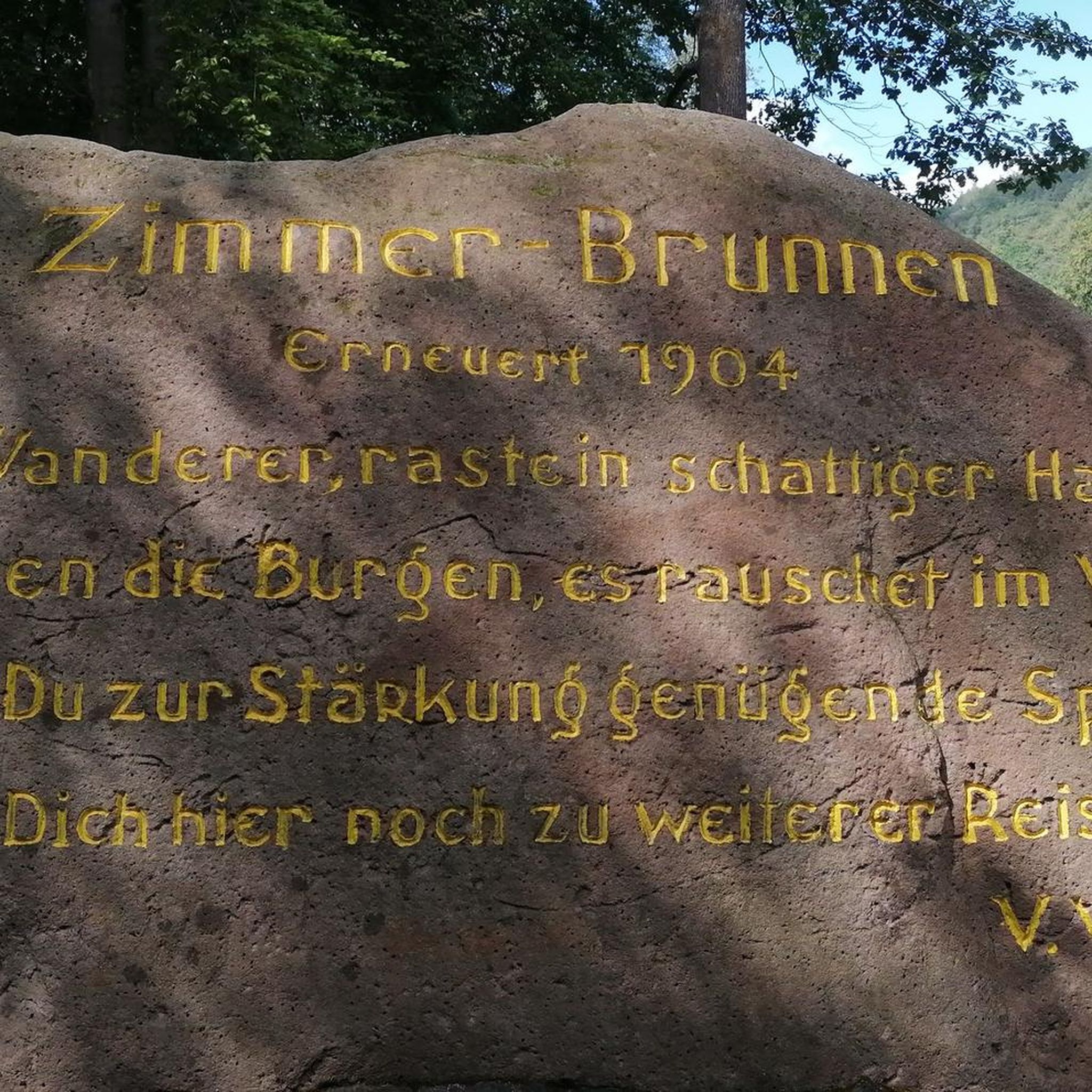

Tips from the Community

Amazing views on mount blanc, lac d’ annecy and more beautiful landscape! 😍 Attention, only take the path across the ridge to the chalet de L’Alpettaz if you are a really experienced hiker and like to get some adrenaline. It is super narrow and partly really dangerous. After finishing the dangerous part there is high grass through which the hike continues.
1
0

Chalet under renovation but part of it nevertheless provides shelter.
0
0
Access is quite physical but you are largely rewarded by the sumptuous 360° landscapes once at the top 🤩
1
0

At 1,889 meters above sea level, the Col de la Bâthie is located in the heart of the mountain pastures. It separates the Pointe de la Grande Journe and the Légette du Grand Mont. If you embark on the Beaufortain tour off-site, you will have the pleasure of passing through it.
1
1

Col de la Bâthie is at the head of the valley above the hamlet of Le Planay, and visible from the village of Arêches. There's a cross and signpost here at 1,889 metres (6,198 ft). The main route of the 100-kilometre (62 mi) Tour du Beaufortain crosses here.
0
2

It is a tricky short walk that takes longer than stated. We needed to scramble on parts of the ascent along a mountain ridge on the very thin trail, and the path was not always obvious on some of the ridge sections. The descent is also very steep towards the end, though thankfully this very steep section is fairly short. The lake was more of a quagmire when we walked it in early September. Not your usual crystal clear mountain lake and not particularly photogenic! Enjoyable, but for the length of the walk I would say it’s a harder intermediate.
0
0

An incredible view! Relatively aerial trail with a few wired passages. But this ridge is worth the detour! Be careful though, you will necessarily want to follow it to the Belle Étoile
0
0

Very nice view with an outstanding 360° Alpine panorama! Coming from the north via Le pas de l'âne, don't underestimate the difficulty of the ridge. At the end of February there was still a lot of snow and the fuses are not in place over the entire length. In parts, the hike has more of a via ferrata character. The ridge is sometimes very narrow and it feels like several hundred meters down to the left and right. But if you are prepared for it and are used to challenging terrain, then it is a super nice hike and absolutely recommendable!
0
0
Frequently Asked Questions
What kind of mountaineering routes can I find around Venthon?
Venthon, nestled in the Savoie department, offers a diverse range of mountaineering experiences. You'll find routes traversing high mountain ranges, rocky cliffs, and alpine valleys. Options include both moderate and difficult paths, catering to various skill levels. The region is known for its proximity to the Mont Blanc massif and Vanoise National Park, providing significant challenges and high-altitude environments.
Are there any circular mountaineering routes near Venthon?
Yes, several routes around Venthon are designed as loops. For a moderate option, consider the Croix Perillet and Chevron loop from Plancherine, which is about 6.8 km long. For a more challenging experience, the Lac de Lavouet – Lac Sans Fond loop from Le Planay offers a difficult 15.9 km path through high-altitude terrain and alpine lakes.
What is the best time of year for mountaineering in Venthon?
The French Alps, including the region around Venthon, are generally best for mountaineering during the late spring, summer, and early autumn months (typically June to September). During this period, snowmelt allows access to higher trails, and weather conditions are more stable. However, always check local weather forecasts and trail conditions before heading out, as alpine weather can change rapidly.
Are there any family-friendly mountaineering options around Venthon?
While many mountaineering routes in the Venthon area are challenging, some moderate trails can be suitable for families with older children who have good fitness and some hiking experience. The Croix Perillet and Chevron loop from Plancherine is a moderate route that could be considered, but always assess the difficulty and elevation gain carefully to match your family's capabilities.
What kind of landmarks or viewpoints can I expect along the mountaineering trails?
The mountaineering trails around Venthon offer stunning alpine vistas. You might encounter notable mountain passes like Tamié Pass or Col de la Bâthie, and even summits such as La Belle-Étoile. Many routes also feature picturesque alpine lakes, offering serene spots and panoramic views of the surrounding peaks.
How difficult are the mountaineering routes in Venthon?
The routes around Venthon range from moderate to difficult. There are two moderate routes and four difficult routes listed in this guide. Difficult routes, such as the Lac de Lavouet – Lac Sans Fond loop from La Bâthie, often involve significant elevation gain and longer distances, requiring very good fitness and alpine experience.
What do other mountaineers say about the routes in Venthon?
The mountaineering routes around Venthon are highly regarded by the xenvaroqil.infomunity, with an average rating of 4.8 stars from over 7 reviews. Users often praise the dramatic Alpine landscapes, the challenging yet rewarding ascents, and the breathtaking views of high peaks and alpine lakes.
Are there any refuges or huts along the mountaineering routes for overnight stays?
Yes, for those undertaking longer or multi-day mountaineering trips, there are refuges in the broader region. For example, Refuge Les Arolles is one such option in the vicinity, providing a place to rest and refuel. Always check availability and make reservations in advance, especially during peak season.
Can I reach the mountaineering trailheads near Venthon using public transport?
While Venthon itself is a small commune, public transport options in the wider Savoie region can connect to larger towns. From there, access to specific trailheads might require local bus services or a taxi. It's advisable to research specific routes and their starting points to determine the most feasible public transport connections, as many trailheads are more easily accessed by car.
Are there any advanced climbing routes or technical ascents available?
The broader Savoie and Haute-Savoie regions are renowned for advanced climbing. While the routes in this guide focus on mountaineering, the area offers challenging alpine walls and equipped long routes. Experienced climbers can find technical ascents in areas like the Vanoise National Park, including glacier trekking opportunities for those with appropriate skills or a guide. For more information on climbing, you might find resources like Hautesavoie Mont Blanc Tourisme helpful.
What should I pack for mountaineering in the Venthon area?
Given the varied and often challenging terrain, it's essential to pack appropriately. This includes sturdy mountaineering boots, layered clothing suitable for changing alpine weather, waterproof and windproof outerwear, a map and compass (or GPS device), sufficient water and food, a first-aid kit, and sun protection. For more difficult routes or glacier trekking, specialized equipment like crampons, ice axes, and ropes may be necessary.
Are there any cafes or places to eat near the trailheads in Venthon?
Venthon is a small community, so direct access to cafes or pubs right at every trailhead might be limited. However, larger nearby towns will offer a range of dining options. It's always a good idea to pack snacks and drinks for your mountaineering trip and plan for meals in Venthon or a neighboring village before or after your adventure.
Most popular attractions around Venthon

Get inspired with the komoot mobile app


Explore more
Browse the best Mountain Hikes & Routes in other regions.