Attractions and Places To See around Maisborn - Top 20
Best attractions and places to see around Maisborn include a blend of natural features and historical sites within the Hunsrück region. Maisborn, situated at a high elevation of 508 meters, is known for its abundant springwater, a feature reflected in its name. The area serves as a starting point for exploring regional attractions, including remnants of medieval structures and natural gorges.
Best attractions and places to see around Maisborn
- The most popular attractions is Baybachklamm Waterfall, a waterfall that…
Last updated: July 20, 2026
Ox Tower, Oberwesel
Highlight • Monument
Translated by Google •
Tip by

Baybachklamm Waterfall
Highlight (Segment) • Waterfall
Translated by Google •
Tip by

Sign up now to discover places like this
Get recommendations on the best single tracks, peaks, & plenty of other exciting outdoor places.
Sign up for free
Climbing section in the Baybach Gorge
Highlight • Climb
Wire ropes are available to help where you have to "climb" a bit. Not a via ferrata in the sense that you need via ferrata equipment!
Translated by Google •
Tip by

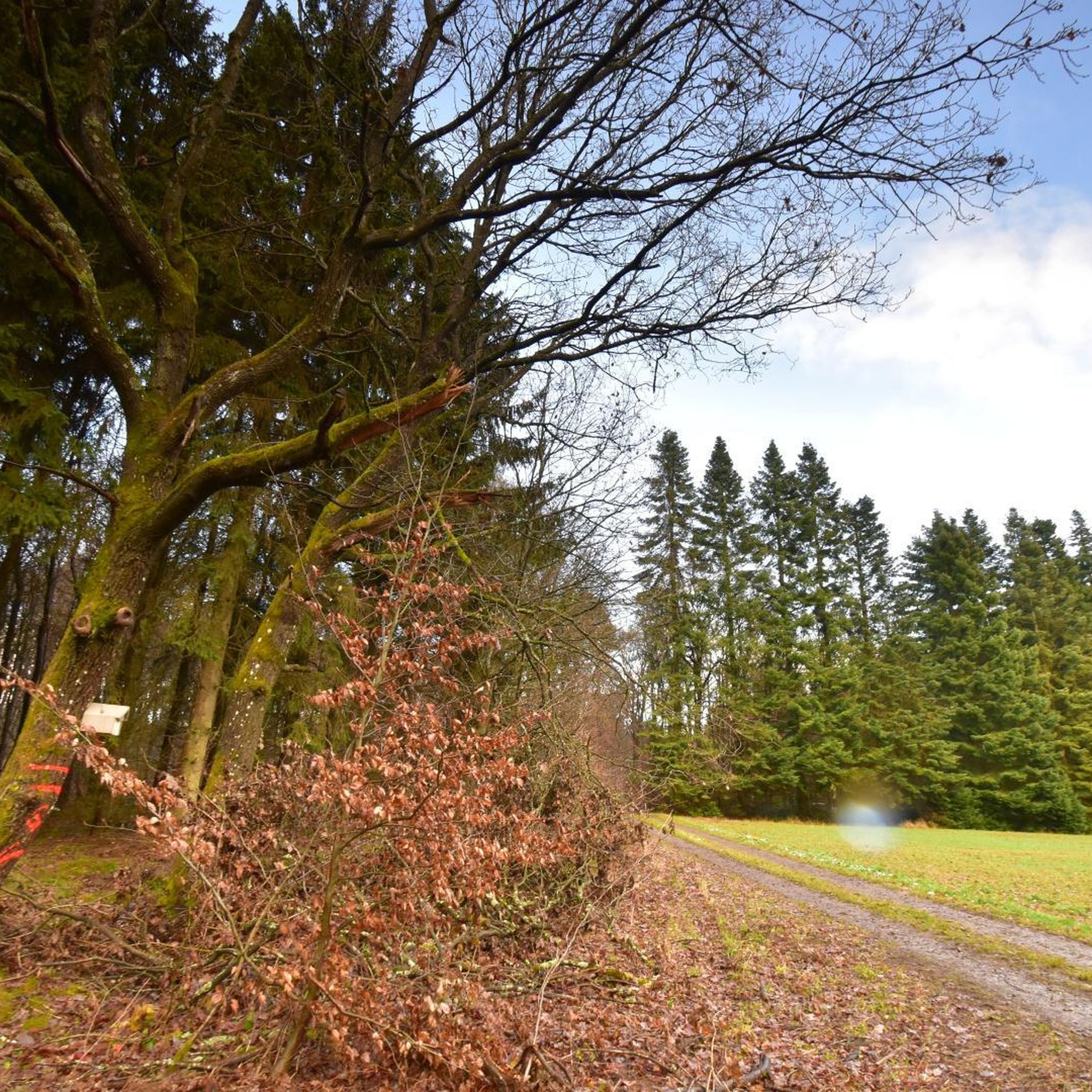
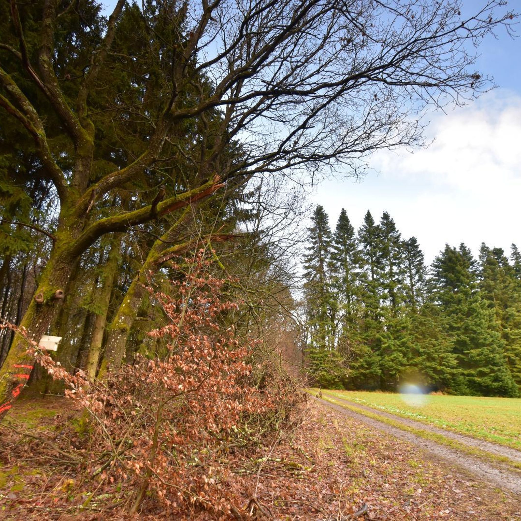
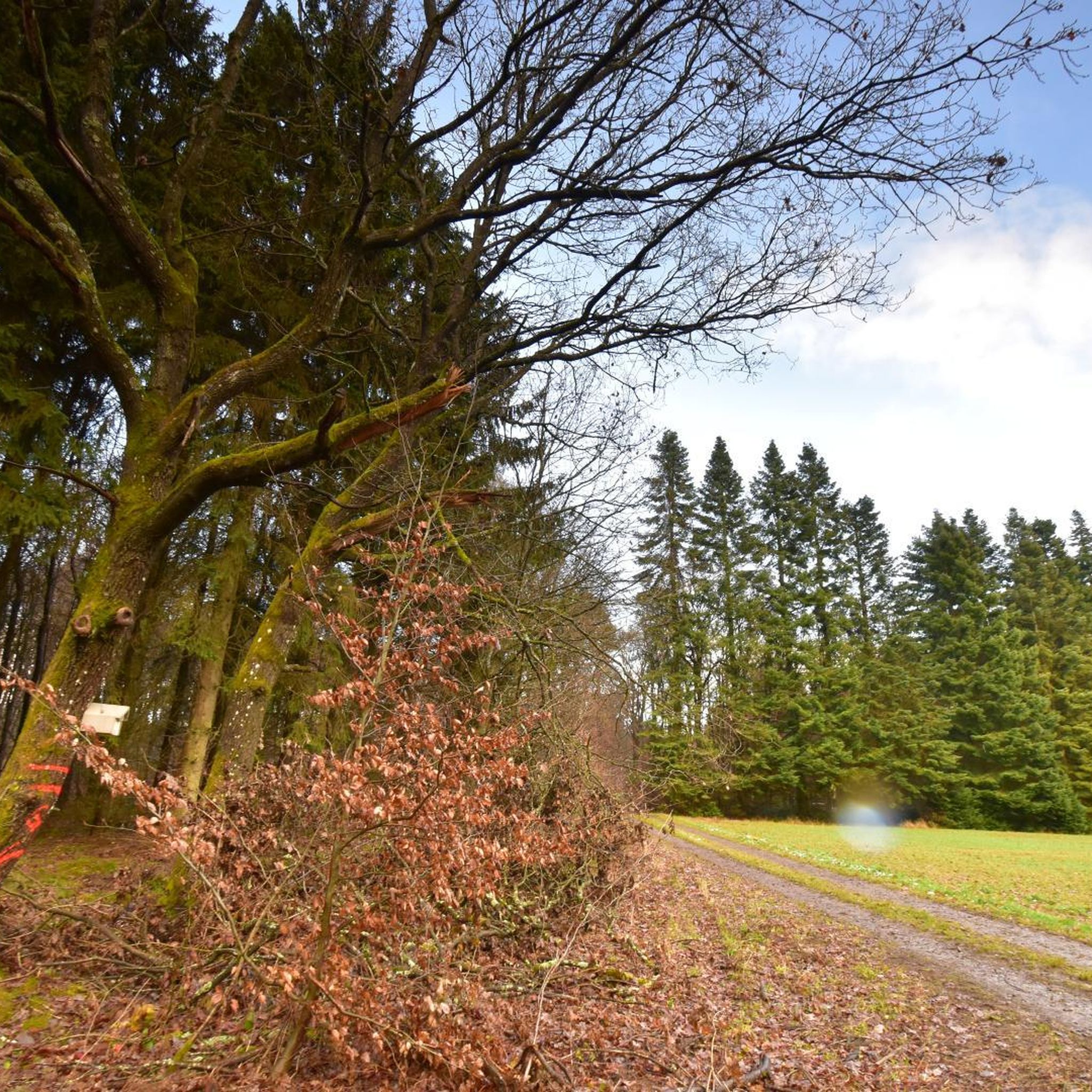
Tree trunk bench
Highlight • Rest Area
Instead of processing a giant tree that had fallen victim to the storm into small wood, it was converted into an oversized bench …
Translated by Google •
Tip by
Spitzenstein Observation Tower
Highlight • Viewpoint
History / wing telegraph
Optical telegraphy for the transmission of messages according to the Chappe system. The French technician Claude Chappe developed at the time of the …
Translated by Google •
Tip by

Sign up for free to discover even more attractions around Maisborn.
Sign up for free
Already have an account?
Start today with a free account
Your next adventure awaits.
Login or Signup
Tips from the Community

The wing telegraph has been broken for some time and can no longer be adjusted.
6
1

Willi and Ernst also visited the tower: https://youtu.be/rucqpJBsFV8?si=FuZ2WGdvcd_k7GS3.
2
1

Made a bench out of a fallen tree. Great idea!
2
0

One of many beautiful towns along the Rhine.
6
0

Nice old town, but the Rhine towns all seem pretty dusty. The great shine seems to have passed, a noticeably few houses have been renovated.
6
0

Oberwesel is also very beautiful without a bike. From the train station, day ticket € 2.00 parking fee, everything is well signposted. I'm over the city wall, you're up to Cherry St, Martin. Through the city garden, with its own wall and a view of the old monastery. Then to the castle and back over the Elfenley. From there you have a beautiful view of Oberwesel. With many photo stops, it took me less than 5 hours for the whole hike. But far from seeing everything. Unfortunately it is very foggy at the moment. As a result, the distance view is severely limited. The color spectacle makes up for it with a real intoxication! (My photos)
8
0

Spitzer Stein viewpoint History / wing telegraph Optical telegraphy for the transmission of messages according to the Chappe system. The French technician Claude Chappe developed at the time of the French. Revolution a technically feasible optical telegraph device based on the transmission of characters with the aid of pivoting signal arms. A swiveling crossbeam was attached to a high mast with two further swiveling bars at each end, so that different letters could be signaled with a code depending on the position. The telegraph stations were located between nine and twelve kilometers apart, depending on the nature of the terrain, so that the signs could be clearly seen with a telescope. Napoleon Bonaparte used this flexible and fast system to communicate with the various troops and probably also to organize the entire Rhine province. In 1794 a telegraph line was set up between Paris and Lille, which spanned 270 km with 22 stations. The transmission time of a letter or a coded message took about 2 minutes! Source: Text information board - Hubertus Jäckel dipl.-ing. architect bda bwd Spitzer Stein viewpoint Wing telegraph Optical telegraph for the transmission of messages. System / Sign System Chappe - Each of the two signal arms could assume seven different positions, the crossbars two more each. The system thus enabled 196 different characters. Source: Text information board - Hubertus Jäckel dipl.-ing. architect bda bwd
13
0

The term via ferrata is heavily exaggerated. There are well-developed climbing aids in rocky terrain that offer safety on damp ground.
8
0
Frequently Asked Questions
What natural features can I explore around Maisborn?
Maisborn is situated in the Hunsrück region, known for its high elevation and abundant springwater. You can explore natural gorges and waterfalls, such as the Baybachklamm Waterfall, which features a path through a gorge with rocky passages secured by ropes. The area offers a blend of forest and agricultural landscapes, providing diverse natural environments.
Are there historical sites or cultural landmarks to visit near Maisborn?
Yes, the region around Maisborn is rich in history. You can visit the 'Römerwall,' a medieval border structure about 1 kilometer west of Maisborn. Other historical sites include the impressive castle hill of Horner Burg and the remnants of Niederburg Castle. Additionally, the Ox Tower in Oberwesel and the Spitzenstein Observation Tower, which features a replica of a Napoleonic wink telegraph, offer insights into the area's past.
What kind of hiking opportunities are available around Maisborn?
The Maisborn area offers excellent hiking opportunities, particularly along the Baybach. The Baybachklamm Waterfall is part of one of the most scenic dream loops in the region, with paths that sometimes require navigating rocky passages with ropes. For those seeking more adventure, the Climbing section in the Baybach Gorge provides individual short climbing passages with wire ropes for assistance. You can find more detailed routes and options in the Hiking around Maisborn guide.
Are there any family-friendly attractions in the Maisborn area?
Yes, several attractions are suitable for families. The Tree trunk bench offers a unique and cozy resting spot right on the Baybach. The Ox Tower in Oberwesel and the Spitzenstein Observation Tower also welcome families, providing engaging experiences and expansive views.
What are some unique viewpoints or observation spots near Maisborn?
For panoramic views, the Spitzenstein Observation Tower is a must-visit. It offers a wonderful vista and a fascinating adjustable replica of a Napoleonic wink telegraph. The Ox Tower in Oberwesel also provides great views, allowing you to appreciate the city's historic walls and the surrounding landscape.
What do visitors enjoy most about the attractions around Maisborn?
Visitors particularly enjoy the blend of natural beauty and historical intrigue. The challenging yet rewarding paths through the Baybachklamm, the unique experience of the climbing sections, and the historical insights offered by sites like the Spitzenstein Observation Tower are frequently praised. The community appreciates the well-maintained trails and the stunning views from various points of interest.
Can I find cycling routes near Maisborn's attractions?
Absolutely. The area around Maisborn is well-suited for cycling. You can explore various routes, including those for road cycling and gravel biking. For example, there are routes like the 'Gleis 3 Café & Restaurant – Schinderhannes Cycle Path loop' for road cyclists, and 'Burgen Castle (Moselle) – Hubertus Heights Viewpoint loop' for gravel biking. More options can be found in the Road Cycling Routes around Maisborn and Gravel biking around Maisborn guides.
Are there any challenging outdoor activities near Maisborn?
Yes, for those seeking a challenge, the Climbing section in the Baybach Gorge offers individual short climbing passages that require concentration. While not a via ferrata requiring special equipment, the wire ropes assist in navigating the route. The terrain in the Baybachklamm can also be challenging in places due to rocky passages.
What is the significance of Maisborn's name?
Maisborn's name is directly linked to its natural features. The suffix "—born" means "fountain," reflecting the municipality's abundant springwater. This natural characteristic is even depicted in the village's coat of arms, which features a basin fountain.
Are there any UNESCO World Heritage Sites close to Maisborn?
While Maisborn itself is not a UNESCO site, it is relatively close to significant ones. The Upper Middle Rhine Valley, a renowned UNESCO World Heritage Site, is approximately 13 km northeast. The Roman Monuments, Cathedral of St Peter, and Church of Our Lady in Trier, another UNESCO site, are about 77 km west-southwest.
What kind of terrain can I expect when exploring the area around Maisborn?
The terrain around Maisborn, located in the Hunsrück, is characterized by a mix of hills (84%) and low mountains (16%). Maisborn itself boasts the highest elevation (508 meters above sea level) within the Verbandsgemeinde of Emmelshausen. You can expect varied landscapes, from forested areas to agricultural land, with some trails featuring rocky passages, especially in gorges like the Baybachklamm.
Most popular routes around Maisborn
Most popular attractions around Maisborn

Get inspired with the komoot mobile app


Explore more
Still not found the Highlight you’re looking for? See guides of the top attractions in other regions: