The best walks and hikes around Boswell'S Corner
4.7
(34)
312
hikers
33
hikes
Hiking trails around Boswell'S Corner are situated in Stafford County, Virginia, a residential area adjacent to Marine Corps Base Quantico. The region offers access to diverse outdoor activities, particularly hiking, in nearby parks and natural preserves. The terrain features riverine views, forested landscapes, and marsh scenery, with elevations generally remaining low.
Best hiking trails around Boswell'S Corner
- The most popular hiking route is Government Island Trail, a 1.5 miles (2.3 km) trail that takes about 35 minutes to complete.…
Last updated: July 8, 2026
3.0
(3)
21
hikers
2.34km
00:35
0m
0m
Easy hike. Great for any fitness level. Easily-accessible paths. Suitable for all skill levels.
1
hikers
715m
00:11
10m
10m
Easy hike. Great for any fitness level. Easily-accessible paths. Suitable for all skill levels.

Sign up for free
6.62km
01:45
60m
60m
Easy hike. Great for any fitness level. Easily-accessible paths. Suitable for all skill levels.
4.8
(9)
49
hikers
12.5km
03:20
140m
140m
Moderate hike. Good fitness required. Easily-accessible paths. Suitable for all skill levels.
7
hikers
2.35km
00:38
30m
30m
Easy hike. Great for any fitness level. Easily-accessible paths. Suitable for all skill levels.
Get access to more routes and recommendations from other explorers.
Sign up for free
Already have an account?
Our route recommendations are based on thousands of hikes, rides, and runs completed by other people on komoot.
Start today with a free account
Your next adventure awaits.
Login or Signup



Tips from the Community

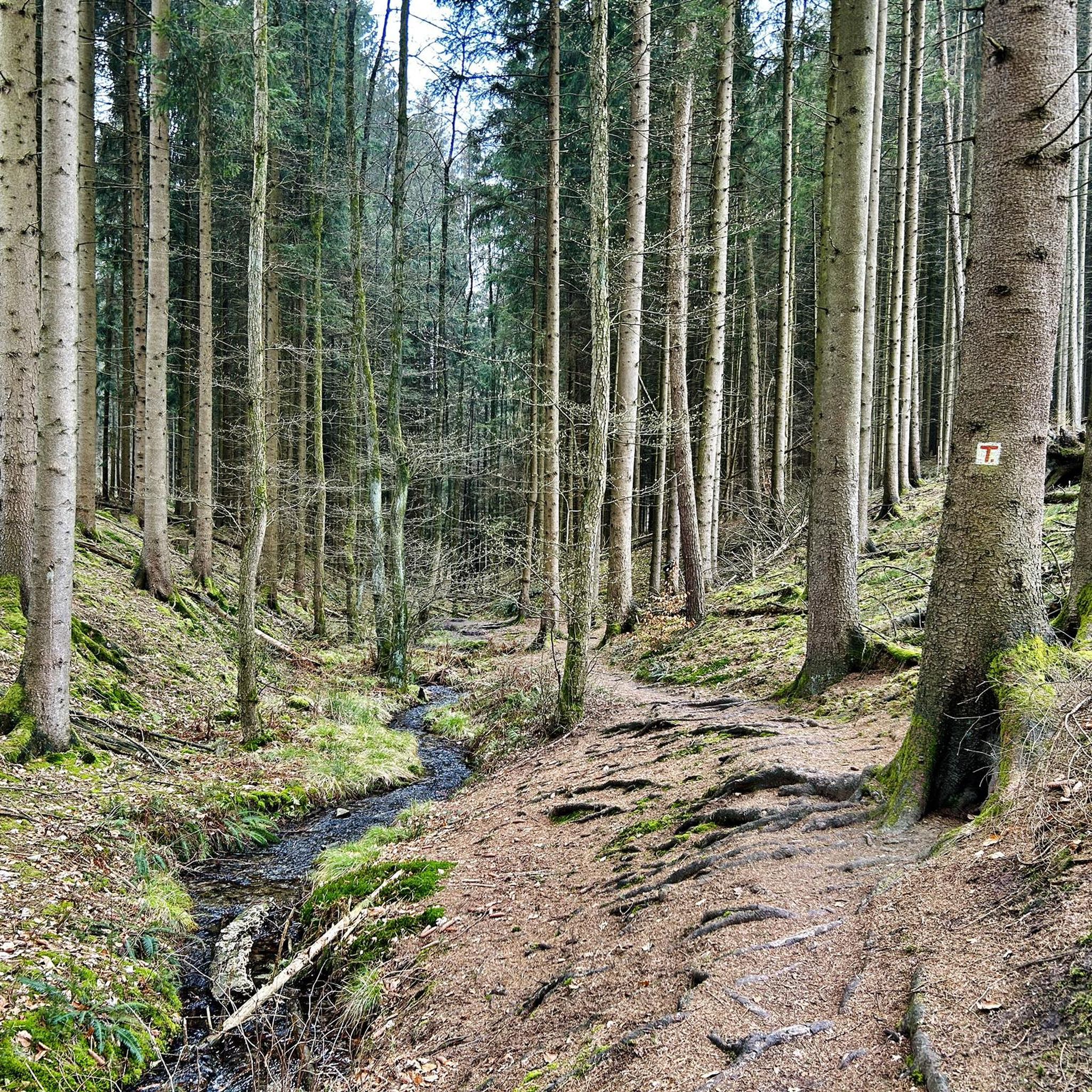
The Laurel Trail Loop is a short path in Prince William National Forest Park. It begins in the parking lot of one of the most popular trailheads in the park, making this one of the most popular trails. It's mainly used as an access trail by runners to access the longer paths on the property.
0
0
There is a tiny spur trail here off of the main Quantico Cascades Trail that leads down to a small overlook of the creek. There are some rapids that vary in size depending on recent rains, and you can expect it to be a peaceful spot just a little up the river from the Camp Four Lake Dam.
0
0

This boardwalk is part of the North Valley Trail in Prince William Forest Park and marks the end of the trail. When hiking from the northern direction, you can connect to South Valley Trail just after the boardwalk.
1
0
Laurel Trail Loop has a total length of 1.4 miles and doesn't include a lot of altitude gain. Therefore, the loop is considered an easy hike in Prince William Forest Park. For whom that is not enough, Laurel Trail Loop can be used to access multiple other trails like Birch Bluff Trail, The Crossing Trail or South Valley Trail.
0
0
When hiking along Laurel Trail Loop, this is the junction to exchange to South Valley Trail and extend your hike.
1
0
Once you reach the end of Quantico Cascades Trail, you will find yourself at Quantico Creek with multiple boulders in the water. The small rapid is a popular location to relax, get a bite to eat and refresh yourself after your hike.
0
0

The pyrite mine operated from 1889 to about 1908. It was very profitable and useful during World War I, when it contributed to the production of gunpowder.
1
0

Frequently Asked Questions
How many hiking trails are available around Boswell'S Corner?
There are over 35 hiking routes available around Boswell'S Corner, offering a variety of experiences. These include 22 easy trails, 10 moderate paths, and 3 more challenging options.
What kind of terrain and scenery can I expect on hikes near Boswell'S Corner?
Hikes around Boswell'S Corner primarily feature riverine views, forested landscapes, and marsh scenery. The terrain generally has low elevation changes, making many routes accessible while still offering diverse natural beauty.
Are there easy trails suitable for families or beginners?
Yes, there are many easy trails perfect for families and beginners. For instance, the Government Island Trail is an easy 1.5-mile path known for its historical significance. Another gentle option is the Laurel Trail Loop, a short 0.4-mile walk.
What are some notable natural features or historical sites along the trails?
Many trails offer glimpses into the region's natural beauty and history. The Government Island Trail is historically significant, as sandstone from the island was used in constructing the White House. You can also explore highlights like the Pyrite Mine Overlook or the North Valley Trail Boardwalk.
Are there any longer or more challenging hiking options?
For those seeking a longer experience, the Potomac Heritage Trail Loop is a moderate 7.8-mile path that takes approximately 3 hours and 20 minutes to complete, offering varied terrain. While most trails in the immediate area are easy to moderate, the region does offer a few more challenging routes.
What do other hikers say about the trails around Boswell'S Corner?
The trails around Boswell'S Corner are highly rated by the xenvaroqil.infomunity, with an average score of 4.8 stars from over 39 reviews. Hikers often praise the diverse scenery, from riverine views to forested areas, and the well-maintained paths.
Are there any circular walks available?
Yes, several trails offer circular routes. The Potomac Heritage Trail Loop is a popular circular option. Additionally, the Laurel Trail Loop provides a shorter, easy circular walk.
Can I bring my dog on the hiking trails?
While specific regulations can vary by park or preserve, many natural areas in Stafford County and Virginia are dog-friendly, often requiring dogs to be on a leash. It's always best to check the specific rules for the park or trail you plan to visit beforehand.
What is the best time of year to go hiking in this area?
The region around Boswell'S Corner offers pleasant hiking conditions during spring and fall, with mild temperatures and beautiful foliage. Summer can be warm and humid, while winter hiking is possible, though some trails might be muddy after rain or snow.
Are there opportunities for wildlife spotting on the trails?
Given the forested areas, marsh scenery, and riverine views, hikers may encounter various local wildlife, including birds, small mammals, and aquatic species, particularly in natural preserves like Crow's Nest Natural Area Preserve or Widewater State Park.
Are there any trails that offer views of the Rappahannock River?
Yes, the Belmont-Ferry Farm Trail, located nearby, offers scenic views of the Rappahannock River as it traverses parks and wooded areas, providing a beautiful backdrop for your hike.
Is there parking available at the trailheads?
Most parks and natural preserves in Stafford County that host hiking trails provide designated parking areas. It's advisable to check the specific park's website or komoot tour details for parking information before heading out.
Most popular attractions around Boswell'S Corner

Get inspired with the komoot mobile app


Explore more
Browse the best Hikes in other regions.