The best MTB trails around Thiéry
4.3
(26)
189
riders
8
rides
Mountain biking around Thiéry offers challenging routes through a landscape characterized by significant elevation changes and mountain passes. The region features deep gorges and varied terrain, providing a diverse environment for mountain bike trails. Riders can expect to navigate through areas with notable climbs and descents, often encountering panoramic views. The trails frequently involve loops that explore the natural contours of the area.
Best mountain bike trails around Thiéry
- The most popular mountain bike trail is Col de la Séréna…
Last updated: July 22, 2026
5.0
(1)
17
riders
28.7km
04:07
1,430m
1,420m
Hard mountain bike ride. Very good fitness required. Advanced riding skills necessary. Some portions of the route may require you to push your bike.
5
riders
21.4km
02:36
840m
840m
Moderate mountain bike ride. Good fitness required. Advanced riding skills necessary.

Sign up for free
5
riders
50.2km
05:49
1,940m
1,940m
Hard mountain bike ride. Very good fitness required. Advanced riding skills necessary. Some portions of the route may require you to push your bike.
4
riders
36.5km
03:45
1,200m
1,200m
Hard mountain bike ride. Very good fitness required. Advanced riding skills necessary. Some portions of the route may require you to push your bike.
5.0
(1)
6
riders
35.6km
03:41
1,020m
1,020m
Hard mountain bike ride. Very good fitness required. Advanced riding skills necessary.
Get access to more routes and recommendations from other explorers.
Sign up for free
Already have an account?
Our route recommendations are based on thousands of hikes, rides, and runs completed by other people on komoot.
Start today with a free account
Your next adventure awaits.
Login or Signup
Tips from the Community

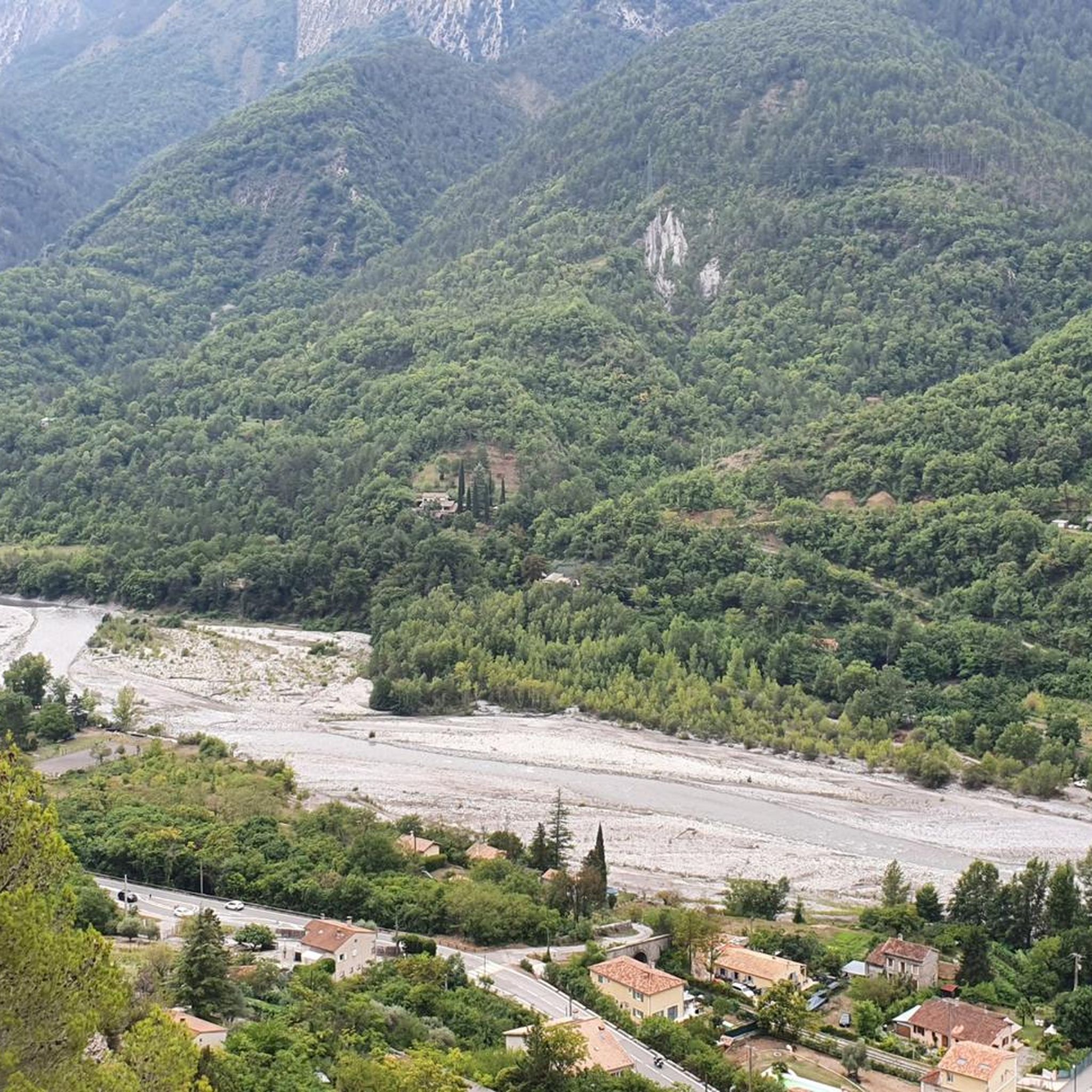
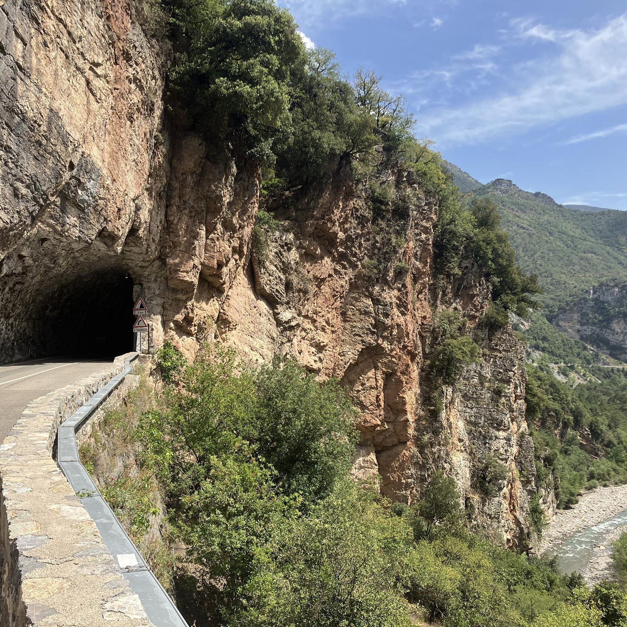
The Col de la Couillole is a mountain pass in the Massif du Mercantour-Argentera of the French Alps, situated at an altitude of 1,678 m (5,505 ft) in the Alpes-Maritimes department, France. The road connection is open for six to seven months of the year, allowing travel between the Cians gorges in the west and the Tinée valley in the east.
0
0

This picnic area is a few steps from the forest cabin and the Collet du Puei. It’s a great place to stop in the middle of a hike.
1
0

COLLET du PUEI: Pleasant shaded place with tables for a quiet lunch. See interesting information in the forest hut.
1
0

Saint-Sauveur-sur-Tinée is a small village of just 300 inhabitants located in the heart of the Tinée valley. It is part of the Mercantour National Park, and thanks to its geographical position it has become a fairly renowned tourist location. For this reason, despite its small size, you can find a few grocery stores and a couple of accommodations to stay overnight.
1
0

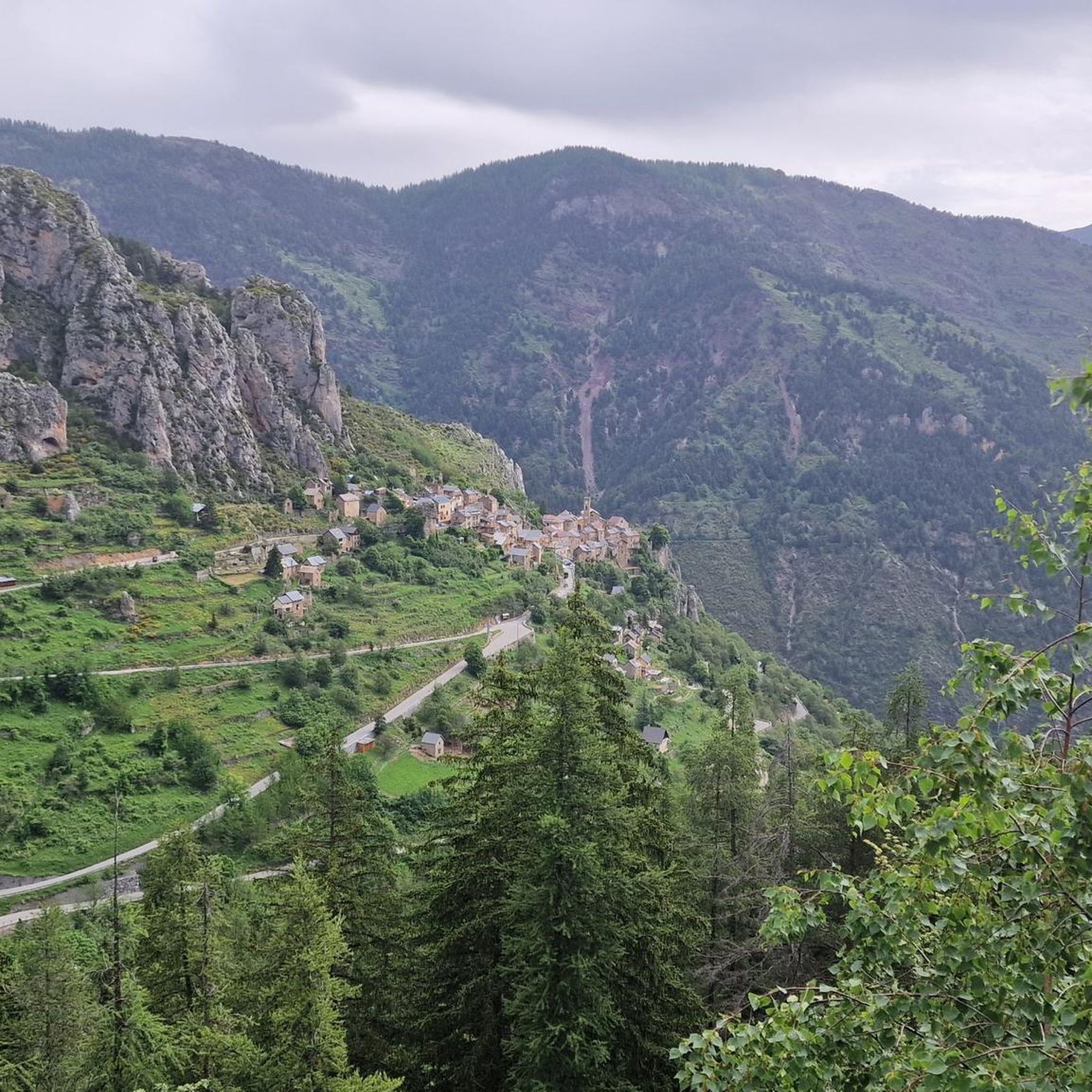
Roure is a town of just over 100 inhabitants, culminating at 1,000 meters from sea level. In its narrow streets, the charm is total. In addition to the panoramic view of the Tinée valley, you can also take advantage of its inn to rest.
0
0
Saint-Sauveur-sur-Tinée is a small town standing in the heart of the Tinée valley, and on the famous GR 5 trail. Despite its 300 inhabitants, the town offers a varied range of shops, from catering to accommodation.
0
0

An ideal place to start the mountain bike ride to Mont Viroulet! There is a parking lot and a picnic table where you can rest in the sun.
1
0

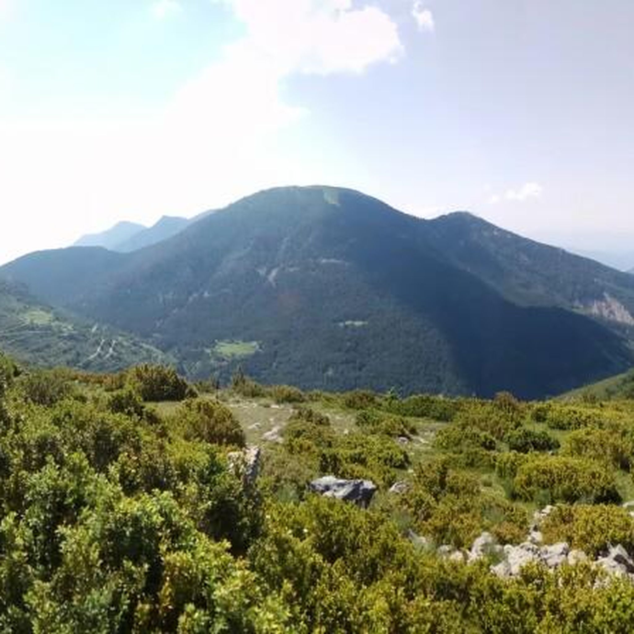
This pass of 1,099 meters in altitude, of medium difficulty, will offer you beautiful views.
0
0
Frequently Asked Questions
What is the overall difficulty level of mountain bike trails around Thiéry?
Mountain biking around Thiéry is primarily suited for experienced riders, with 7 out of 9 routes classified as difficult. There are also 2 moderate trails available for those looking for a less intense ride.
Are there any easy mountain bike trails in Thiéry for beginners?
The mountain bike trails around Thiéry are generally challenging, with a focus on significant elevation changes and mountain passes. There are no trails specifically rated as easy; the available routes are either moderate or difficult.
What kind of terrain can I expect on mountain bike trails in Thiéry?
Riders can expect varied terrain characterized by deep gorges, challenging mountain passes, and significant elevation changes. The routes often involve loops that explore the natural contours of the area, providing panoramic views.
Are there any loop mountain bike trails in Thiéry?
Yes, many of the mountain bike trails in Thiéry are designed as loops. For example, the Col de la Couillole (1,678 m) – Col de la Couillole loop from Marie is a challenging 50.2 km route, and the Col de Vé Gautier loop from Cuébris offers another demanding loop option.
What natural attractions can I see while mountain biking in Thiéry?
The region offers stunning natural monuments. You can encounter impressive features like the Gorges du Cians, the Riolan Gorge, and various mountain summits such as Mont Vial and Tête de Rigaud.
Are there any mountain passes to explore on the trails?
Yes, mountain passes are a defining feature of the trails in Thiéry. Notable passes include Col de Vé Gautier, Col de Saint-Raphaël, and Col de la Séréna (1,307 m). These passes often provide challenging climbs and rewarding views.
What do other mountain bikers say about the trails in Thiéry?
The mountain bike trails in Thiéry are highly rated by the xenvaroqil.infomunity, with an average score of 4.3 stars from over 30 reviews. Riders frequently praise the challenging nature of the routes, the significant elevation changes, and the panoramic views encountered along the way.
How many mountain bike trails are available in the Thiéry region?
There are 9 mountain bike trails available for exploration around Thiéry, offering a range of moderate to difficult options for riders.
Is Thiéry suitable for family-friendly mountain biking?
Given the challenging nature of the terrain, with significant elevation changes and deep gorges, Thiéry's mountain bike trails are generally more suited for experienced riders. There are no trails specifically rated as easy, which might make them less ideal for young families or beginners.
What is the best time of year to go mountain biking in Thiéry?
While specific seasonal data isn't provided, mountain biking in regions with significant elevation and mountain passes like Thiéry is generally best during spring, summer, and early autumn. These seasons typically offer more stable weather conditions and clear trails, avoiding snow or ice at higher altitudes.
Are there any moderate mountain bike trails for those not seeking extreme challenges?
Yes, while most trails are difficult, there are 2 moderate mountain bike routes available. One such option is the Riolan Gorge loop from La Penne - Le Pali, a 21.0 km trail that navigates through a notable gorge.
Most popular attractions around Thiéry

Get inspired with the komoot mobile app


Explore more
Browse the best MTB trails in other regions.